Weather Blog: One More Day Of Heat; Then Cool Down
Today's high temperature of 89 degrees at MSP solidified this warm start to September by helping to push the average of all the high temperatures so far this month to 82.5 degrees. Climatologically, highs should run in the mid 70s for early September.
It's been not only warm, but atypically dry as well with only .02" of rain falling at MSP so far this month, contributing to a deficit of over an inch of rainfall for the month to date.
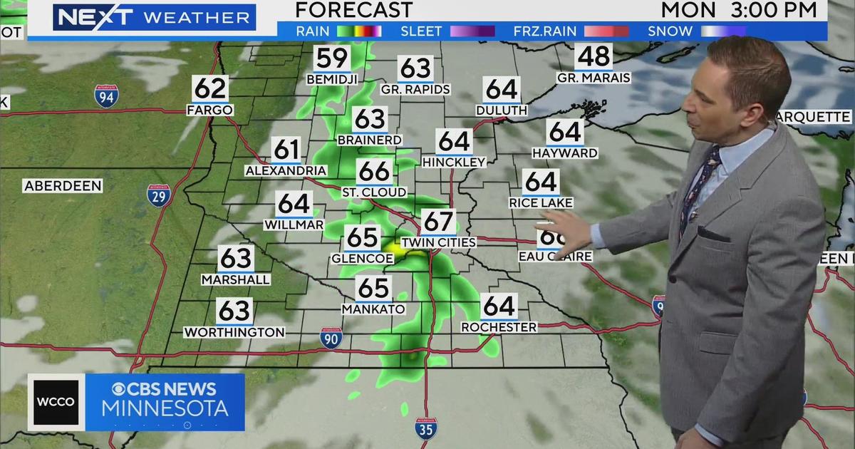
With the exception of scattered showers across northern Minnesota tomorrow, the mainly dry conditions look to persist for the next 5 days, but we are going to be saying goodbye to that toasty warmth with the passage of two cold fronts early this week.
One final day of heat persists tomorrow with highs in the mid to upper 80s. The first cold front arrives in the Twin Cities tomorrow night and will drop highs for Tuesday by nearly 20 degrees!
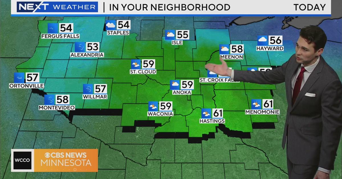
A secondary cold front will push through the region Tuesday and open the door to notoriously chilly, Canadian high pressure. Highs on Wednesday may inspire the donning of jackets and coats with only upper 50s likely.