Weather Blog: Record Heat But Will We Feel Fall?
High temperatures topped in the 80s for the eighth consecutive day in the Twin Cities today, tying the record for the longest stretch of 80-degree days in October which last occurred in 1953!
Eighties were felt across the area from the north Metro south to Austin and west to Redwood Falls, including 82 degrees at MSP and a balmy 84 degrees in downtown St. Paul.
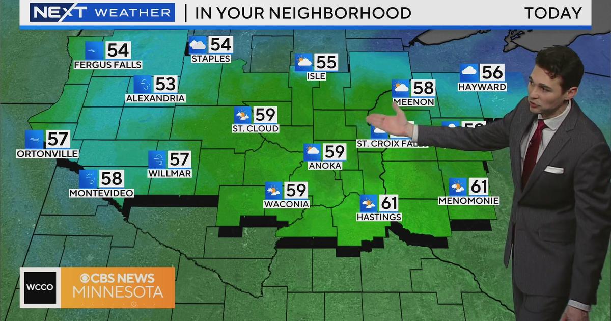
As the southern half of the state relished a day of sunshine and continued unseasonable warmth, a stalled out frontal boundary created a significant temperature gradient as well as enjoyment gradient between the north and south, as much of northern Minnesota experienced sparse sun, passing showers and highs only in the 50s and 60s. In Bemidji, highs only reached to upper 50s with .03" of rain reported.
On Monday, a secondary cold front will push through the region bringing with it a chance of showers mainly across western Minnesota, but I can't rule out a few showers for the Twin Cities and points east in the afternoon.
Slightly cooler air situated behind the front will bring an end to the 80-degree streak, yet highs will remain mild for Minneapolis and St. Paul in the middle 70s through Tuesday.
Fall has forgotten us though, and Mother Nature will bring a big reminder of the current season on Wednesday. A strong cold front is set to move through the state and by Thursday highs will struggle to hit 60 degrees with clouds, sprinkles and breezy winds to accompany the cool down for week's end.


