Another Round Of Snow Headed Our Way Late Sunday
MINNEAPOLIS (WCCO) -- The snow is already forming and heading towards the Twin Cities -- and by the looks of it, it won't just be a dusting.
Meteorologist Matt Brickman said the snow will likely hit the metro around Sunday late evening and into the overnight.
Brickman said the snow will start around 10:30 p.m. Sunday, coming from west-central Minnesota. The snow will continue into 5 a.m. or 6 a.m., making the morning commute a little slick.
And it won't stop there.
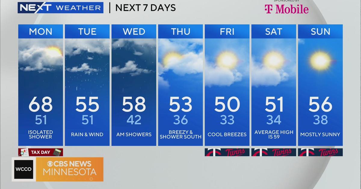
The Monday evening commute will be the worst we'll see in the next few days, Brickman said, because you'll have the snow already on the ground, plus more continuing to fall.
The snow continues Monday night into Tuesday morning, when it will likely be its heaviest.
When all is said and done, we could see anywhere from 6 to 12 inches of snow in the metro, southeast and northwest parts of the state.
Watch Lauren Casey's 5:30 p.m. update above.
AP: Storm To Drop Snow From ND Into MN, IA, WI
GRAND FORKS, N.D. (AP) — Another blast of winter weather is forecast to track from eastern North Dakota southeast overnight into Minnesota and Iowa.
The National Weather Service has issued a winter storm warning from Sunday evening through Tuesday for a system that is expected to dump the heaviest amounts of snow in eastern North Dakota and across a swath of Minnesota including the Twin Cities, down into northeastern Iowa.
North Dakota could see 8 to 12 inches of snow, with the highest amounts in Devils Lake, Grand Forks, Mayville, Fargo and Wahpeton. Six to 10 inches with isolated amounts of 12 inches were forecast from central through southeastern Minnesota and western Wisconsin into northern Iowa.
(© Copyright 2013 The Associated Press. All Rights Reserved. This material may not be published, broadcast, rewritten or redistributed.)


