April Showers Bring May Snow?
MINNEAPOLIS (WCCO) -- If you needed any convincing to get outside today, the forecast for the next few days should be more than enough motivation.
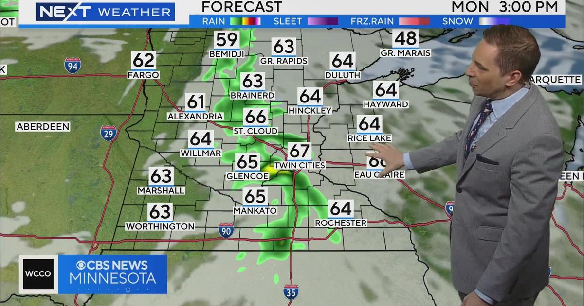
We'll have one more day in the 70s before the temperature takes a 30-degree dive.
Wednesday morning we'll see some precipitation, mostly rain, before those chilly temperatures turn that into wet, heavy snowfall.
During the day on Wednesday we won't see too much accumulation but during the evening hours and into Thursday morning, a narrow line of moisture – mostly wet snow – will bring some accumulation, depending on where that zone of moisture sets up.
Just south and east of the Twin Cities will see "plowable" and "shovelable" snow with the metro area likely seeing less accumulation. If the weather models change, however, the Twin Cities could move into the heavier snowfall.
The temperatures will stay around the mid-40s and 50s throughout the weekend, with a chance for rain just about every day until next week.