Winter Weather Returns For Yet Another Curtain Call
MINNEAPOLIS (WCCO) -- Be honest. You didn't really think this winter had heaved its last breath, did you?
Like the inevitable sequel to a long-running horror movie franchise, snow is making yet another return to the forecast. Only this time, the flakes are predicted to fly not in April, but in May.
A winter storm warning has been issued for parts of Minnesota, including the Twin Cities metro area.
WCCO meteorologist Matt Brickman predicts that Wednesday morning's rain will begin to turn into flakes by the afternoon, eventually turning over to all snow by late afternoon.
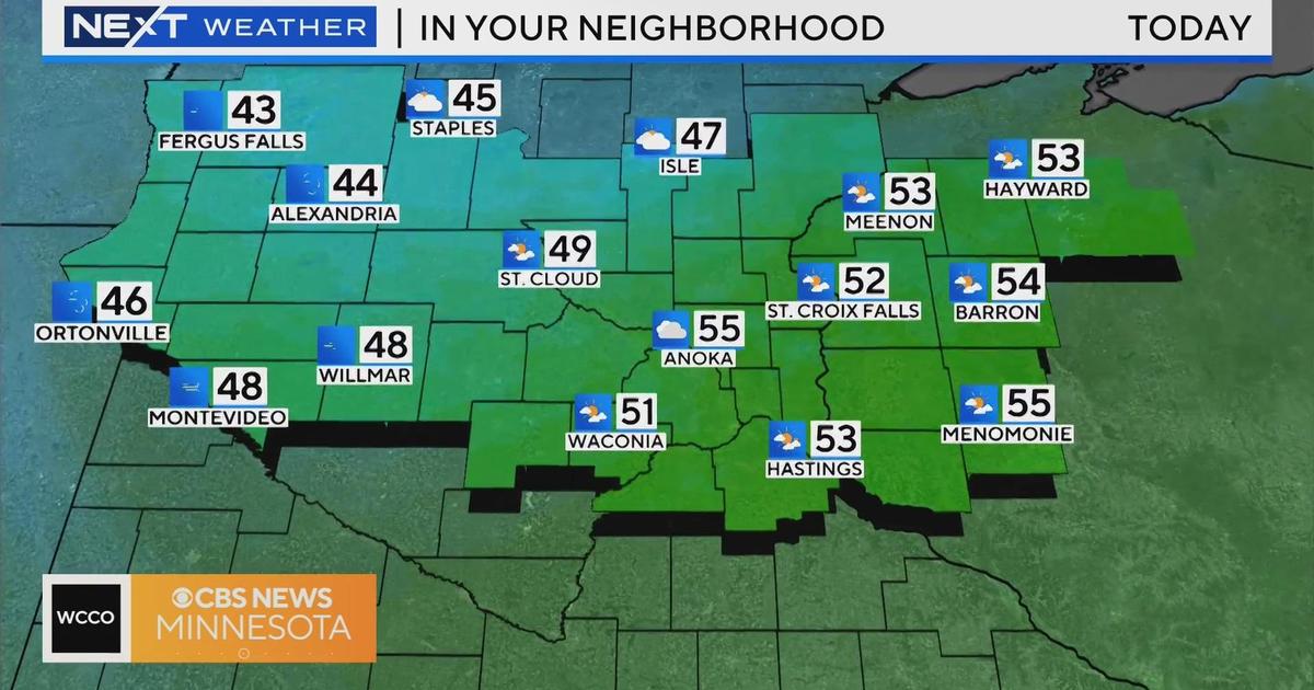
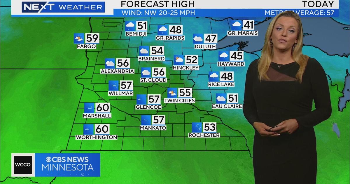
As of 9 a.m., it was 39 degrees in the Twin Cities, compared to the 72 degrees it was at 9 a.m. on Tuesday.
Brickman said as cold air continues to move in from the northwest, a thin band of snow should continue to accumulate stretching from New Ulm on toward the northeast, including the Twin Cities and northwestern Wisconsin.
While not common, "May snow in the Twin Cities is not unheard of," Brickman said. The last time there was measurable snow in the area was back in 1991. Since the 1890s, there have been snowfalls of 1 inch or more only seven times.
In fact, if this storm lives up to its potential, it could be a potential record-breaker. There have only been three recorded snowfalls that reached 3 inches -- in 1892, 1935 and 1946. Brickman said he expects to see anywhere from 3 to 6 inches of snow from this system, though the National Weather Service suggests totals could reach 9 inches.
If there is a bright side to this May Day storm, it's that the snow is not expected to stick around for long. By Friday, high temperatures will return to the upper 40s. Though the rain will likely continue into Saturday, by early next week, temperatures should return to normal -- high 60s or even 70 degrees by Tuesday.


