Blizzard Conditions, 12 Inches Possible With Season's 1st Storm
MINNEAPOLIS (WCCO) – Blizzard conditions are expected Friday in west-central Minnesota, as the season's first storm looks to dump up to a foot of snow on some parts of the state.
Meteorologist Matt Brickman says the flakes will begin falling overnight as the storm moves into the west and north-central Minnesota. Throughout the day Friday, winds will pick up, particularly in the southwestern part of the state, creating dangerous roda conditions.
"Blizzard conditions may develop as wind gusts approaching 60 mph combine with heavy snowfall to create whiteout conditions and significant snow drifting," Brickman said.
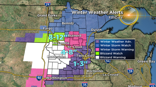
The storm looks to dump the most snow on a swath of central Minnesota, stretching from Alexandria to Bemidji and then to communities further north.
Cities such as Alexandria and Brainerd look to see some of the highest snow totals, with 8 to 12 inches possible. St. Cloud looks to see anywhere from 4 to 8 inches.
In the Twin Cities metro, snow will likely fall Friday afternoon, with anywhere from 1 to 3 inches accumulating.
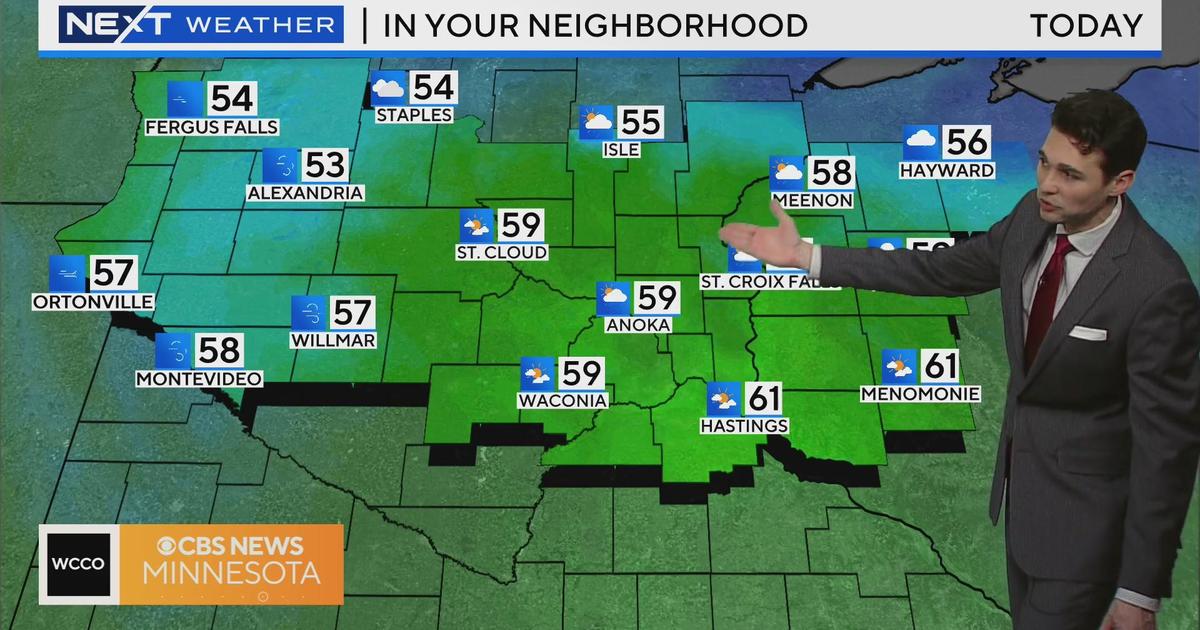
Following Friday's snow will be a chilly Saturday with below-average temperatures. In some communities, wind chills will be in the single digits, a massive departure from temperatures that have been above average nearly all month.
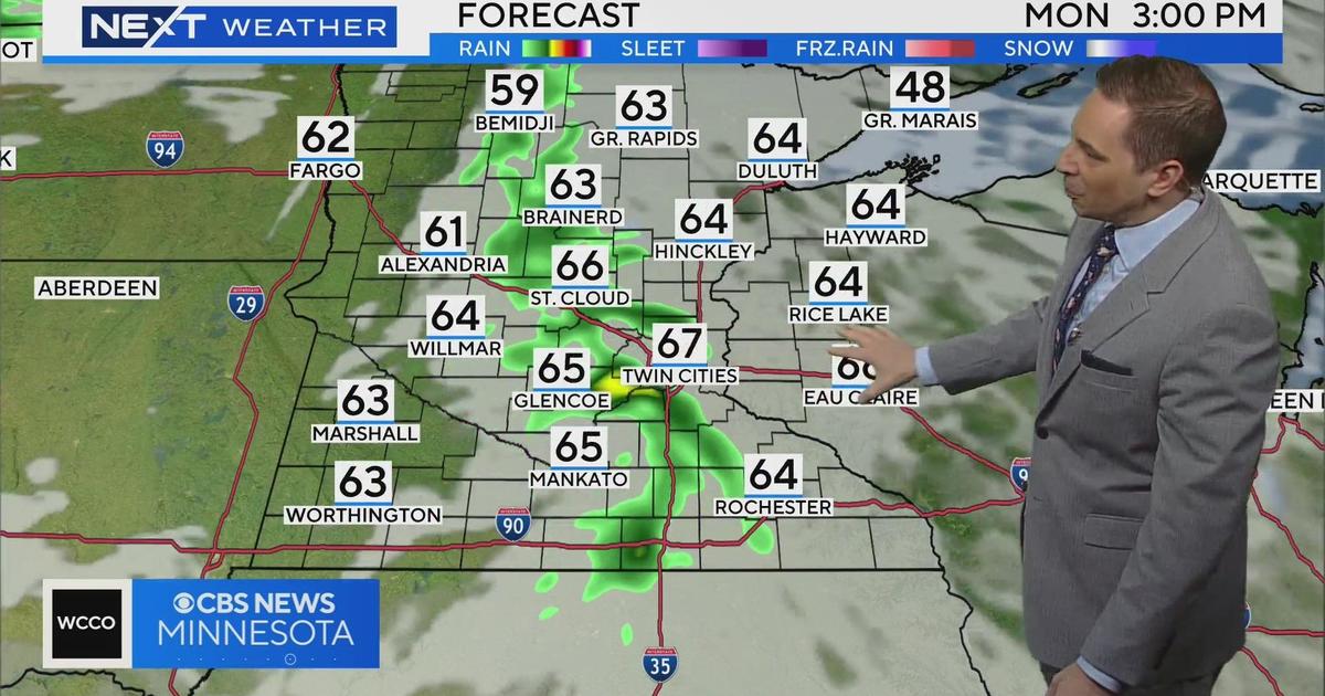
Looking ahead, next week looks to hold highs in the low 40s.
-----