Another February Temperature Record Falls In The Twin Cities
MINNEAPOLIS (WCCO) – Sunday brought yet another day of record-breaking warmth to the Twin Cities, and the spring-like temperatures look to last well into the workweek.
The National Weather Service says a 36-year-old high temperature record for Sunday was topped when the mercury rose to 58 degrees at Minneapolis-St. Paul International Airport shortly after 1 p.m. The previous high temperature record for the Twin Cities, set in 1981, was 57 degrees.
And, that happened quick... MSP just broke the record. Now at 58!
— NWS Twin Cities (@NWSTwinCities) February 19, 2017
Sunday's milestone was the third in a string of record-breaking warm days. The trend looks to continue Monday, when highs are expected to climb near 60 degrees despite daytime rain showers and thunderstorms.
The temp to beat Monday for a fourth-consecutive record is 57 degrees in the Twin Cities.
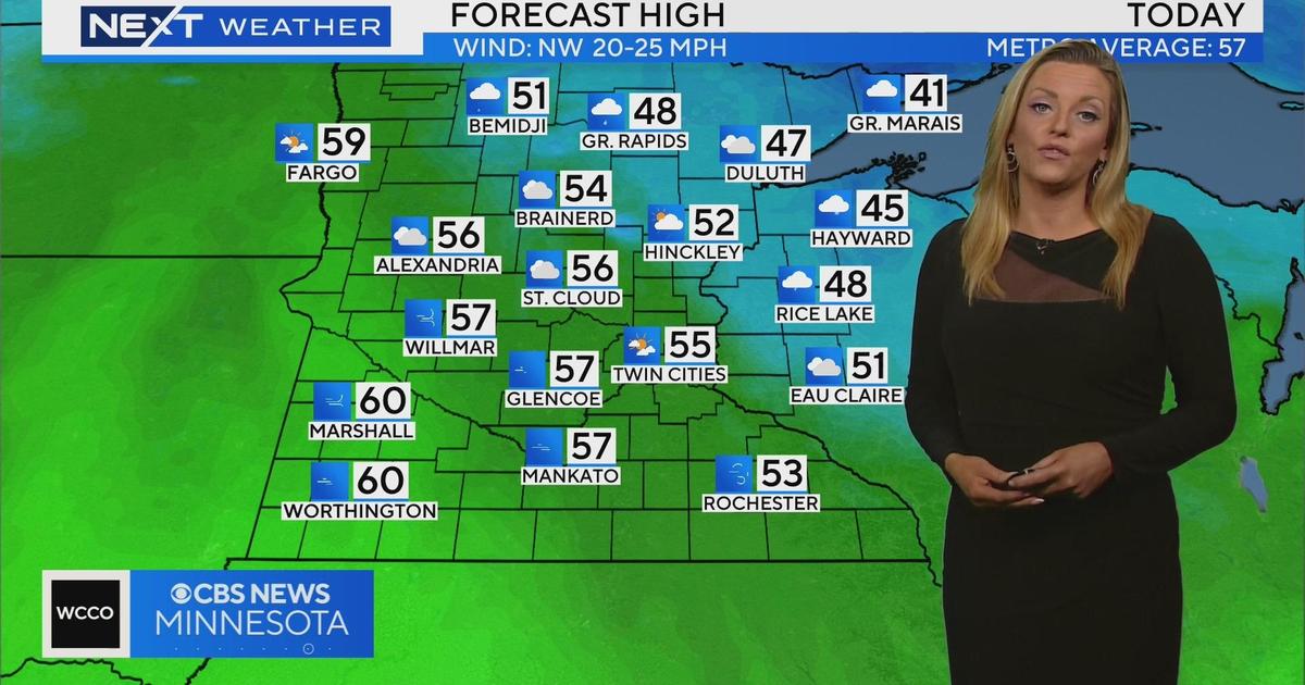
Meteorologist Mike Augustyniak says the spring-like weather, with highs in the upper 50s, is expected to stick around for much of the workweek. Next weekend, however, winter weather will return, dropping highs back into the low 30s.
A storm system tracking toward the Twin Cities next weekend could also bring significant snow, but Augustyniak cautions that the storm is too far out in the Pacific Ocean to guarantee a return to a winter landscape.
"Don't buy the hype," Augustyniak said. "There's not a guarantee we'll get snow accumulating in the [Twin Cities]."
However, he says that areas hit directly by the storm could see, under certain conditions, more than a foot of snow.
DON'T BUY THE HYPE on Friday snow...yet. What could spoil our snow chances, thru 7a @WCCO pic.twitter.com/KVEjRrWl08
— Mike Augustyniak (@MorningWXGuy) February 19, 2017