Good Question: How Are Minnesota County Lines Established?
MINNEAPOLIS (WCCO) -- Minnesota has 87 counties, and there are parts of state where you can stand in one spot and be in two different counties.
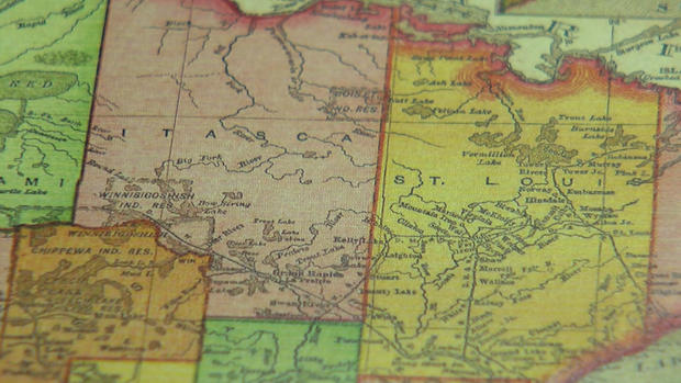
Sometimes it's a body of water or a street that helps separate land, and in other cases it's just a straight line.
"Counties are to the state of Minnesota … what states are to the United States of America," said Mound-Westonka High School history teacher Marc Doepner-Hove.
When the Minnesota territory was established in 1849, so were counties.
"There were originally these five mega counties, because you have to keep in mind the Minnesota Territory extended partially into North and South Dakota," Doepner-Hove said.
As state lines were established and populations grew, bigger counties broke up into smaller ones.
"Ramsey County at one time went north of Lake Mille Lacs, so I doubt the people around Lake Mille Lacs would want to go to the county seat in St. Paul," he said.
Rivers and roads became natural borders, but sometimes it was just a straight line drawn on a map.
"These were drawn long before there were roads probably at this particular point," Doepner-Hove said.
The forming of a new county actually starts at the township level, where people can vote to stay, leave, or form their own county.
Counties are responsible for a number of things, likes taxes -- and that can sometimes create conflict.
In the late 1850s, people in northern Pine County voted to leave and create Buchanon County.
"Buchanon County existed for four years and then they said, 'That's enough,'" he said. "They rejoined Pine County, but then in 2000, they held another vote to possibly leave, they voted no."
By 1923, county borders were pretty much established in Minnesota, but Pine County is proof that things can always change.
Ultimately, it's the population of an area that forms its boundaries. Some of the biggest counties in northern Minnesota only have a few thousand people.
"Ramsey County is actually the smallest county in the state of Minnesota, but it has the second-largest population," Doepner-Hove said.
He says that county names have changed over the years. Clay County was once Breckenridge County, name after a former vice president. But he left to join the Confederate Army during the Civil War, and the people voted to rename the county after Sen. Henry Clay.
Counties like Chippewa and Mahnomen are formed from Native American words.
Ramsey and Sibley are named after former governors.