Winter Storm's Heaviest Snow Could Miss The Twin Cities
MINNEAPOLIS (WCCO) – While it's possible that communities near the Twin Cities could still see a half-foot of snow later this week, it now appears foggy as to where exactly Minnesotans will need to shovel out.
The National Weather Service has issued a winter storm watch for most of Minnesota for Wednesday night and Thursday morning. While early forecasts showed a band of heavy snow – up to 7 inches – cutting across central Minnesota, from Mankato to the Twin Cities, later forecasts were less certain on snow totals.
Wondering why snow totals keep changing with the upcoming winter storm? This 1 minute video helps explain #mnwx #wiwx pic.twitter.com/goap8Icomi
— NWS Twin Cities (@NWSTwinCities) January 9, 2018
According to weather officials, the reason for the uncertainty has to do with the system's two heavy snow bands.
One is expected to cover western Minnesota, dropping 2 to 5 inches of snow, while the other is expected to cover the eastern part of the state, dropping up to 8 inches of snow.
The bands will likely be narrow, and it's yet unclear where exactly they'll hit.
The area between the snow bands, which currently looks to include the Twin Cities metro, could see anywhere from a dusting to 2 inches of snow, the weather service says.
Still, the timing of the storm will likely cause headaches for metro drivers.
The system is expected to push into the state Wednesday night and develop in the overnight hours. It should be out of the state by Thursday afternoon.
With whatever snow falls will come a significant drop in temperatures.
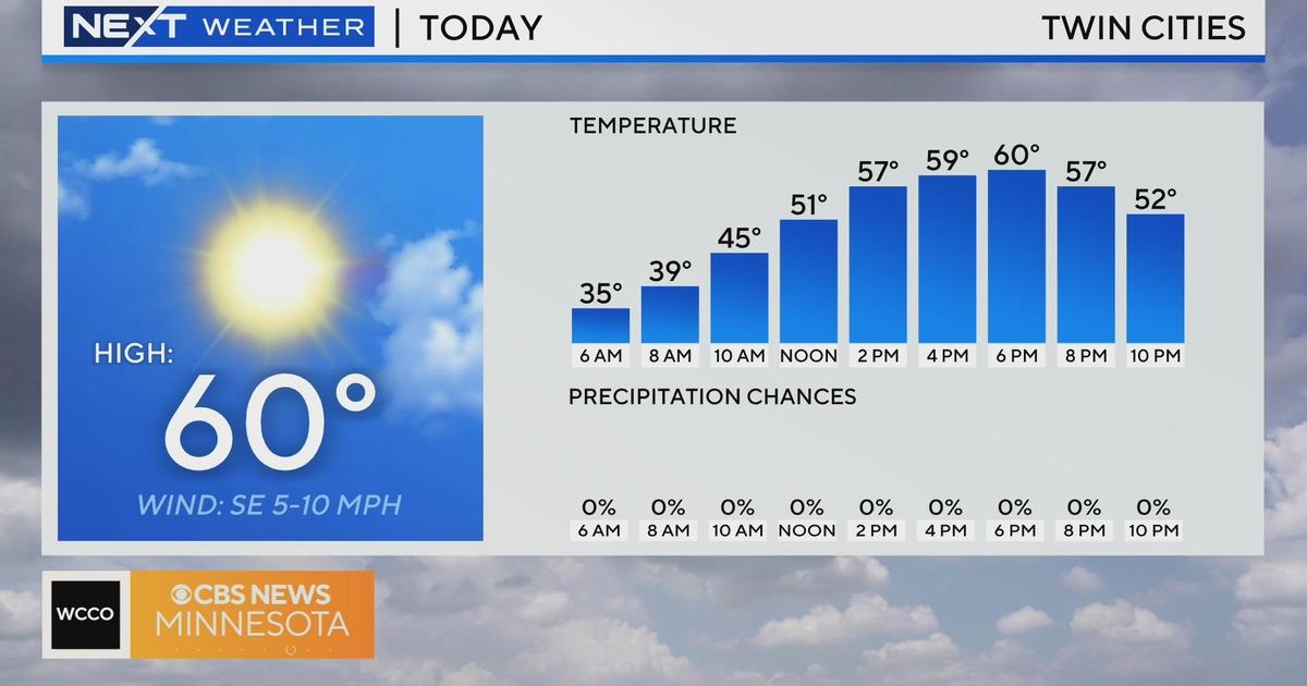
While Wednesday looks to have snow-melting highs near 40 degrees, the mercury won't likely reach the upper teens on Thursday.
Looking ahead, the next chance of snow comes Friday, and the weekend is expected to bring the return of arctic temperatures. Highs will be in the single digits and lows will be subzero.


