Minnesota Braces For Possible Mid-April Blizzard
MINNEAPOLIS (WCCO) -- The probability that the Twin Cities will see more than 6 inches of snow from the forecasted storm going into the weekend is enough to have most metro area residents decrying the winter that just refuses to end (unlike all those other previous times winter hung around past March).
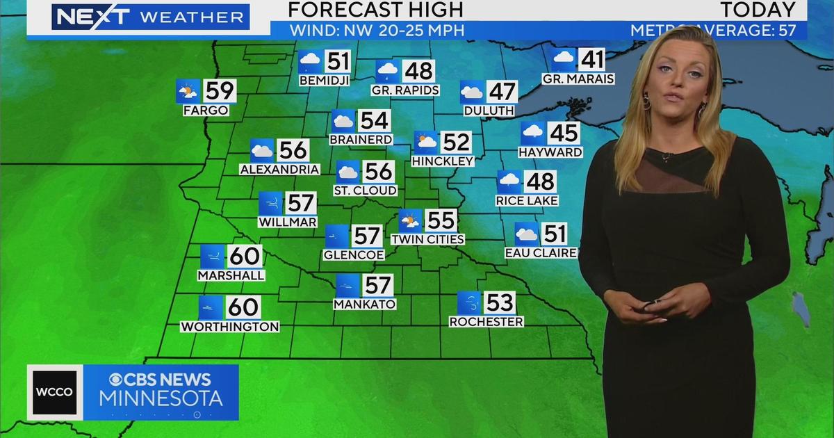
Thursday should be the calm before the storm, literally, with temperatures again reaching into the upper 40s, potentially 50. It will be mostly cloudy, with winds settled at about 5 to 10 mph. The silver lining of the week? This will be the warmest first-pitch of the year for the Twins at home, with 47 degrees likely at game time.
WCCO meteorologist Matt Brickman said that will change dramatically.
"There are parts of Minnesota, especially west-central Minnesota, that are going to see a foot of snow or more," Brickman said. "Here in the Twin Cities, I think probably half that number is the most likely scenario.
Before the snow, rain should begin moving into the state early Friday, accompanied by strong winds with gusts in the 40 to 45 mph range moving across the southern portion of the state. Further north of the Twin Cities, some of that early precipitation could take the form of snow.
"By Friday night, that transitions to ice. That's where things get really dicey," Brickman said.
The ice should transition to snow thereafter, with west-central Minnesota still seeing high wind gusts, which Brickman says could result in blizzard conditions.
The system that is expected to produce this mid-April misery just hit the North American land mass Thursday morning, so Brickman says there is still the possibility that the expected accumulations could shift one way or another.