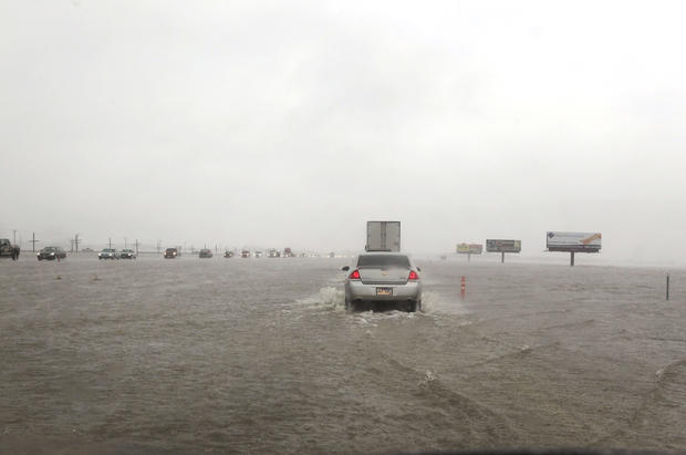
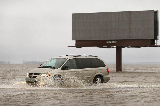
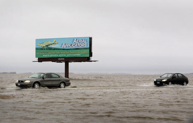
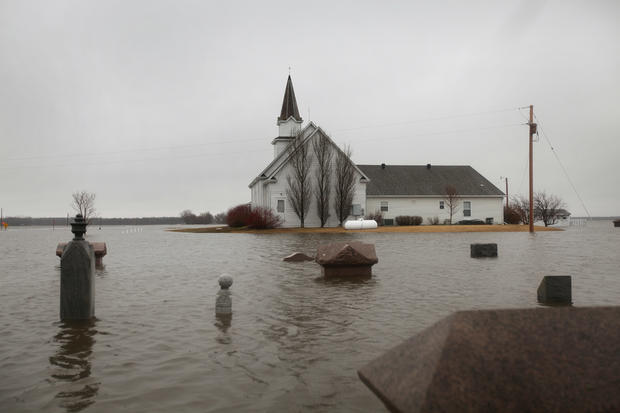
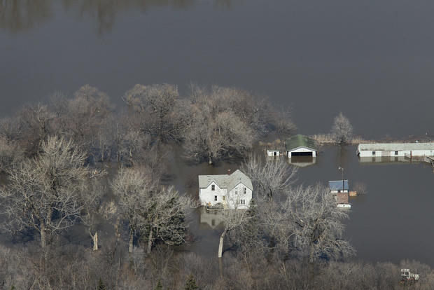
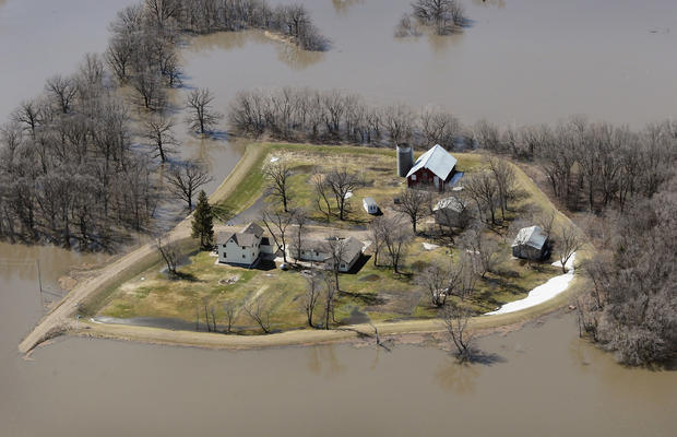
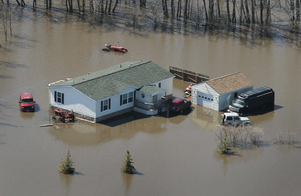
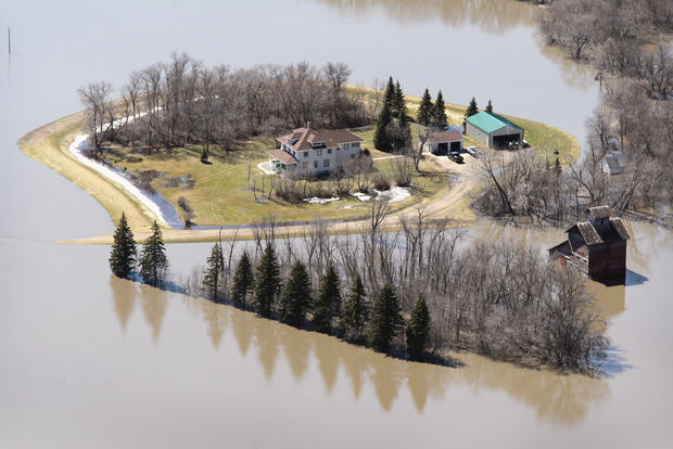
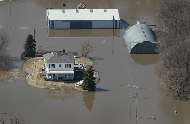
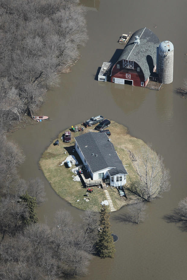
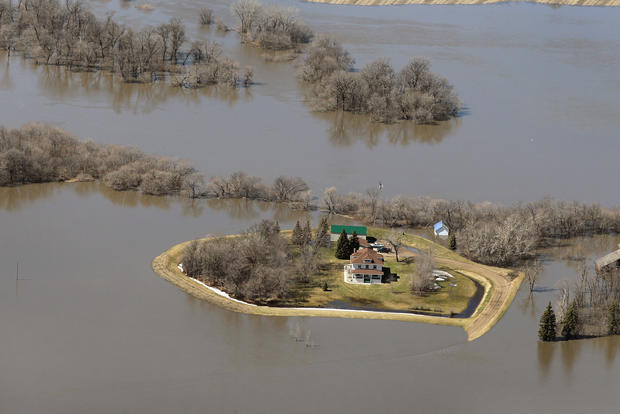
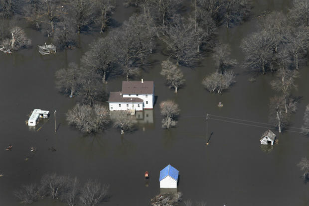
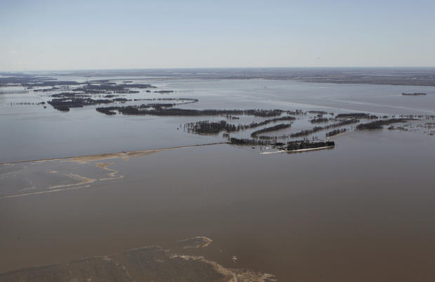
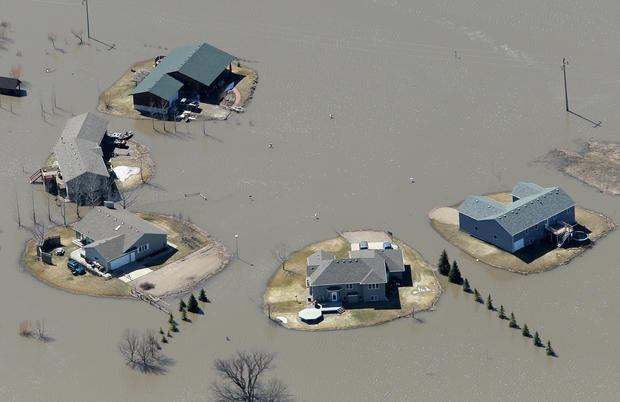
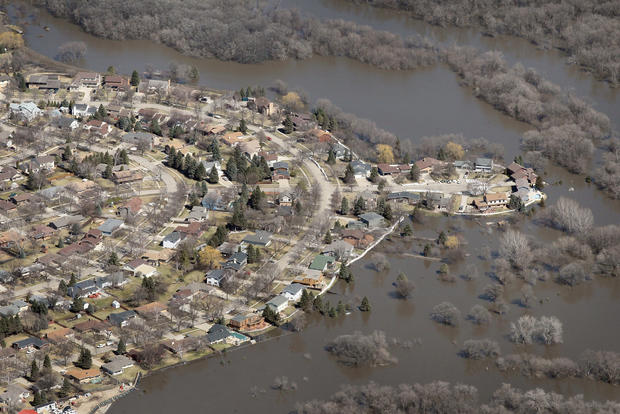
Red River Flooding In Spring 2011
Fargo Prepares For Flooding From Cresting Red River
Fargo Prepares For Flooding From Cresting Red River
Fargo Prepares For Flooding From Cresting Red River
Fargo Prepares For Flooding From Cresting Red River
Fargo Prepares For Flooding From Cresting Red River
North Dakota Battles Red River Floods
North Dakota Battles Red River Floods
North Dakota Battles Red River Floods
North Dakota Battles Red River Floods
North Dakota Battles Red River Floods
North Dakota Battles Red River Floods
North Dakota Battles Red River Floods
North Dakota Battles Red River Floods
North Dakota Battles Red River Floods
North Dakota Battles Red River Floods
North Dakota Battles Red River Floods
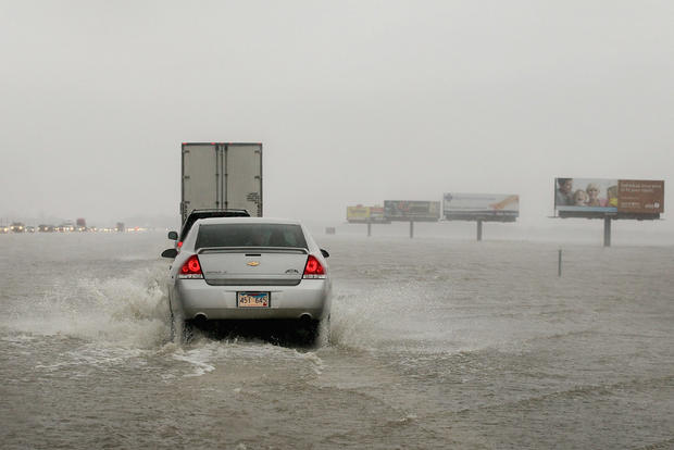
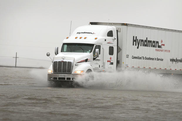
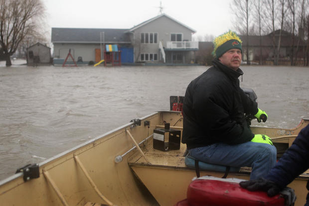
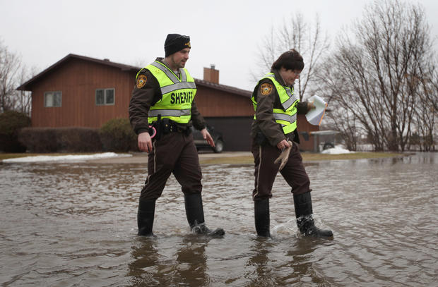
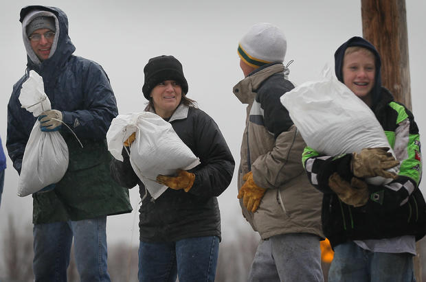
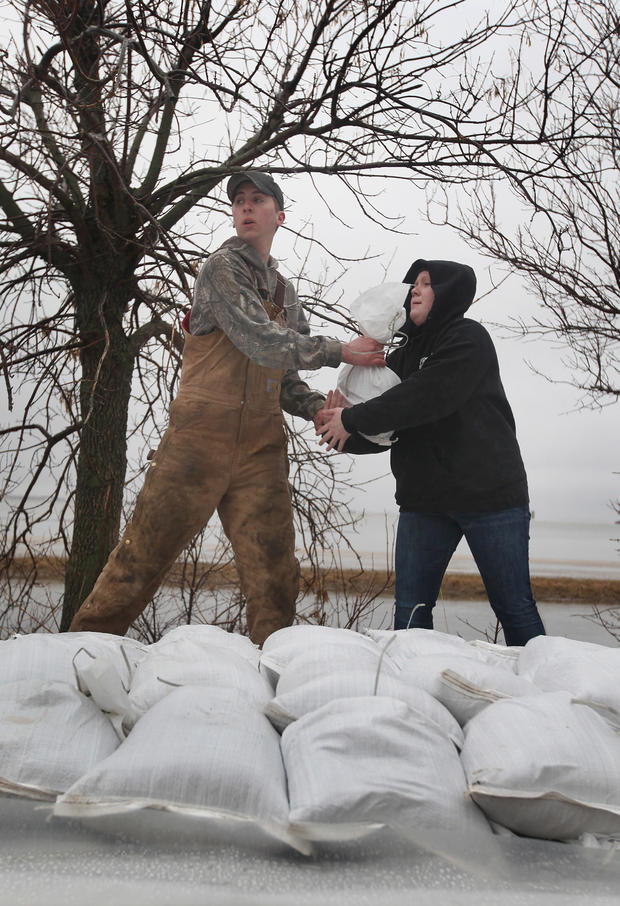
North Dakota And Minnesota Battle Red River Floods
North Dakota And Minnesota Battle Red River Floods
North Dakota And Minnesota Battle Red River Floods
North Dakota And Minnesota Battle Red River Floods
North Dakota And Minnesota Battle Red River Floods
North Dakota And Minnesota Battle Red River Floods
North Dakota And Minnesota Battle Red River Floods
North Dakota And Minnesota Battle Red River Floods

North Dakota And Minnesota Battle Red River Floods
North Dakota And Minnesota Battle Red River Floods
North Dakota And Minnesota Battle Red River Floods
North Dakota And Minnesota Battle Red River Floods
North Dakota And Minnesota Battle Red River Floods
North Dakota And Minnesota Battle Red River Floods
North Dakota And Minnesota Battle Red River Floods
North Dakota And Minnesota Battle Red River Floods

North Dakota And Minnesota Battle Red River Floods
North Dakota And Minnesota Battle Red River Floods
North Dakota And Minnesota Battle Red River Floods
North Dakota And Minnesota Battle Red River Floods
North Dakota And Minnesota Battle Red River Floods
North Dakota And Minnesota Battle Red River Floods
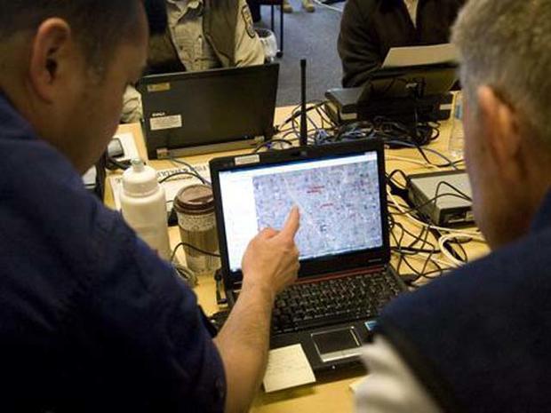
Corps Recons River Basin To Help The National Weather Service
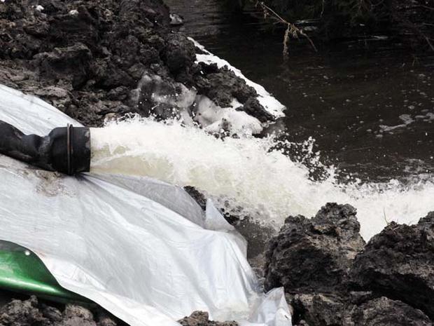
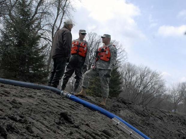
Levee Monitoring

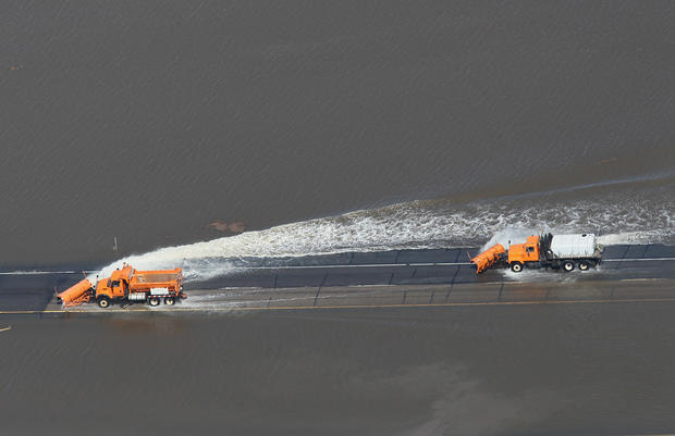
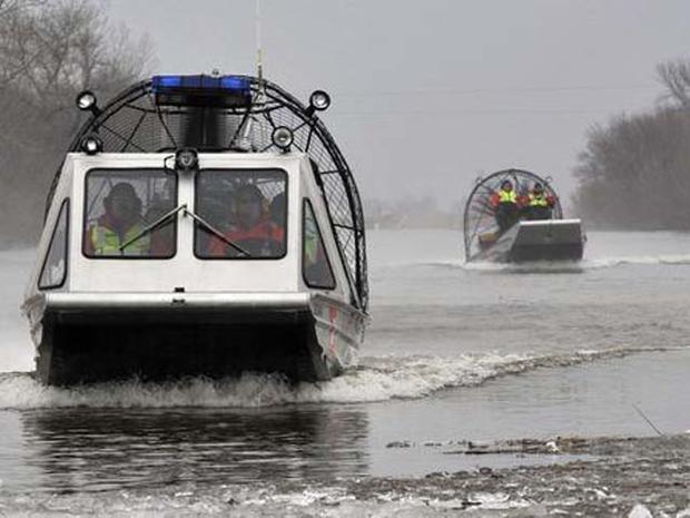
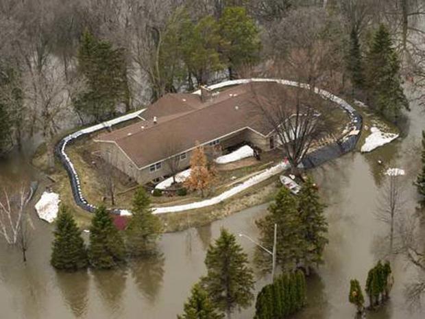
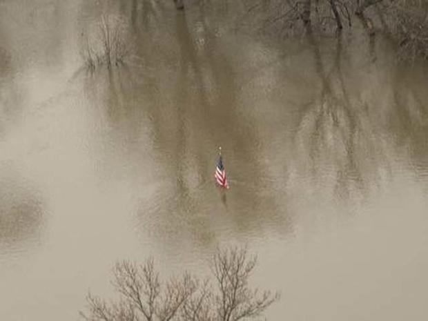
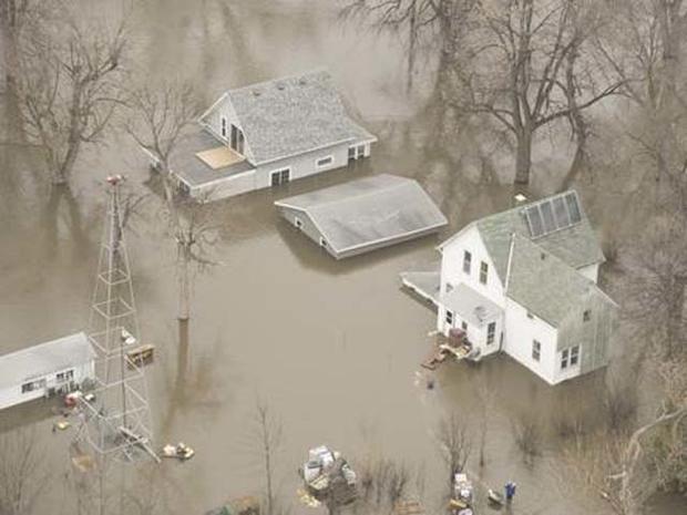
Red River Flood Response
Red River Flood Response
Red River Flood Response
Red River Flood Response
Red River Flood Response
Red River Flood Response
Red River Flood Response
Red River Flood Response
Red River Flood Response
Red River Flood Response
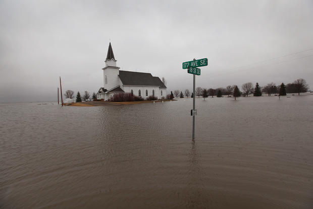
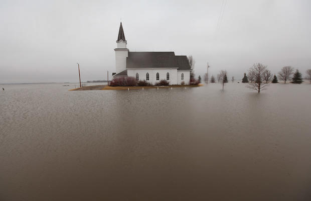
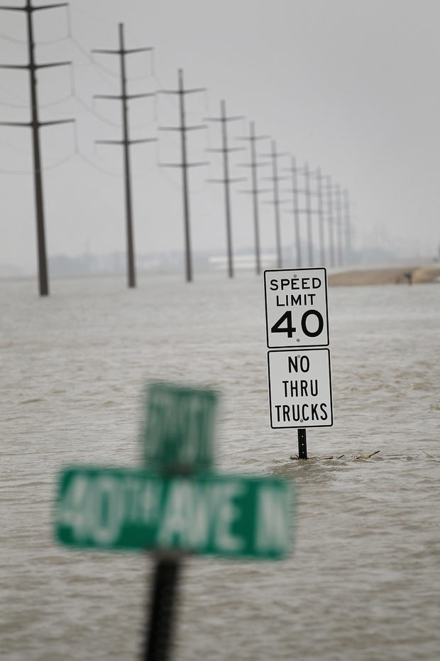
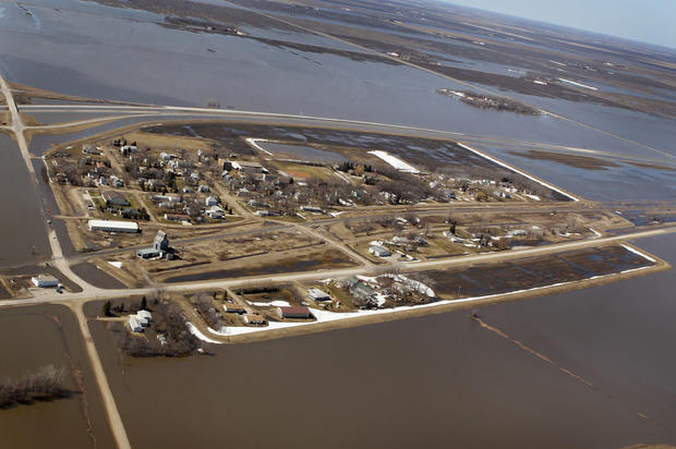
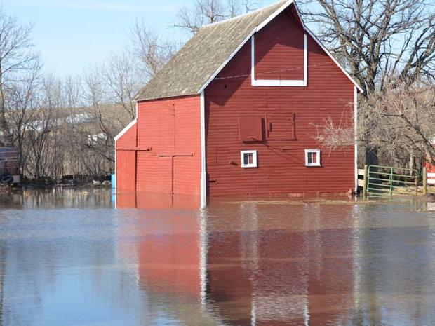
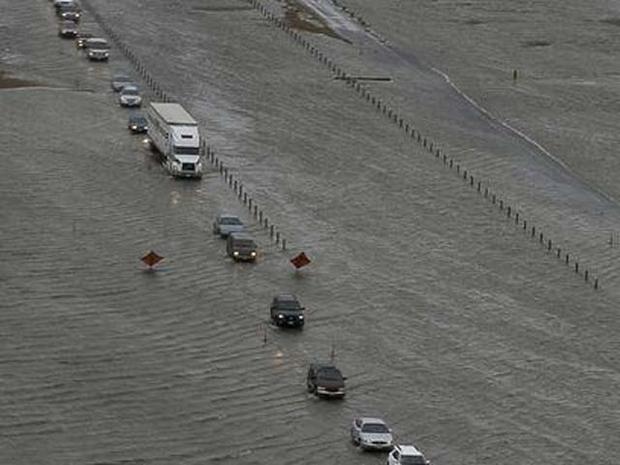
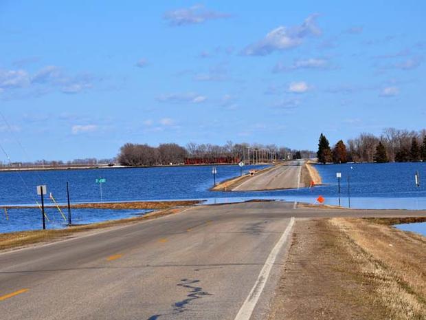
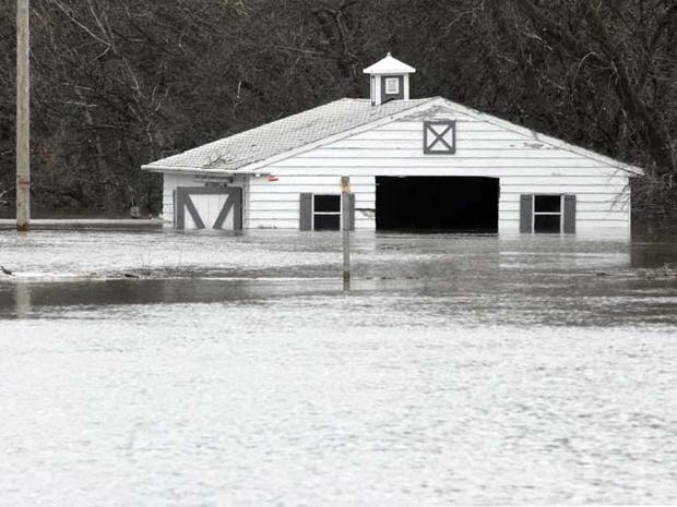
Red River Flood 2011: Overland flooding approaches on Hendrum, Minn.
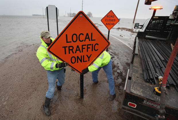
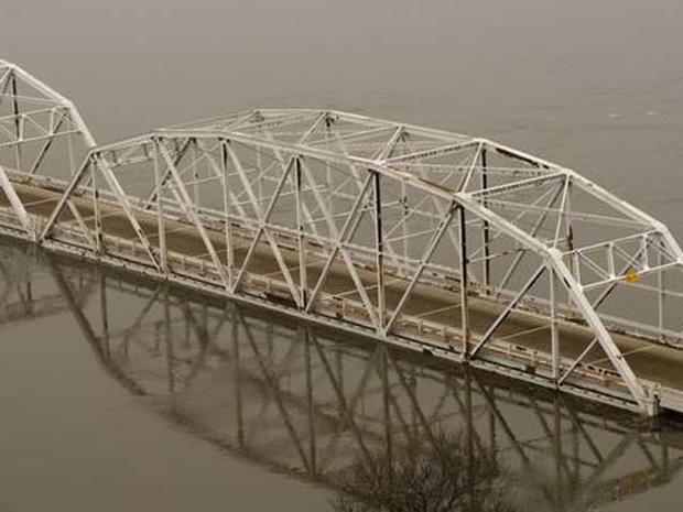
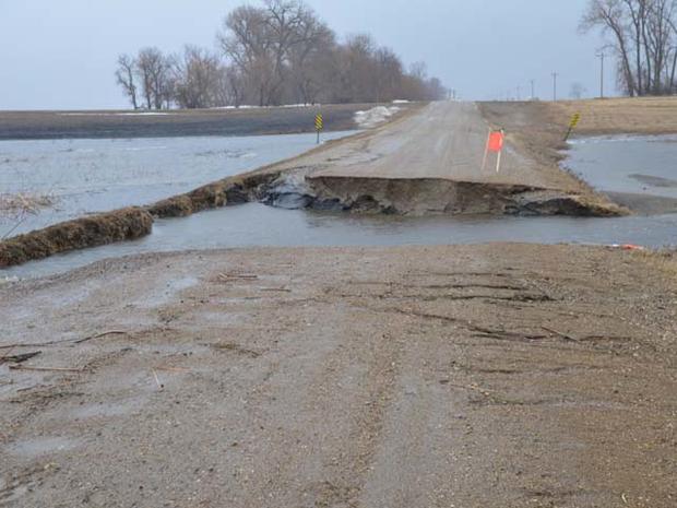
Red River Flood Fight 2011: Sheyenne River washes out road
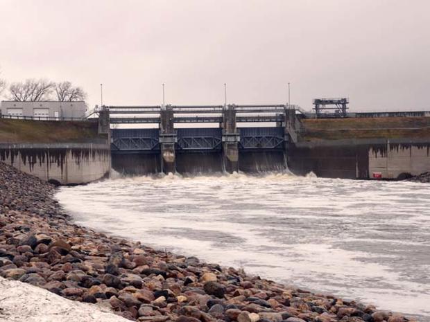
Corps of Engineers to raise levees at Valley City, N.D.
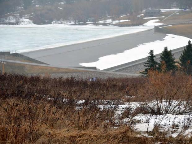
Corps of Engineers to raise levees at Valley City, N.D.
Corps of Engineers to raise levees at Valley City, N.D.
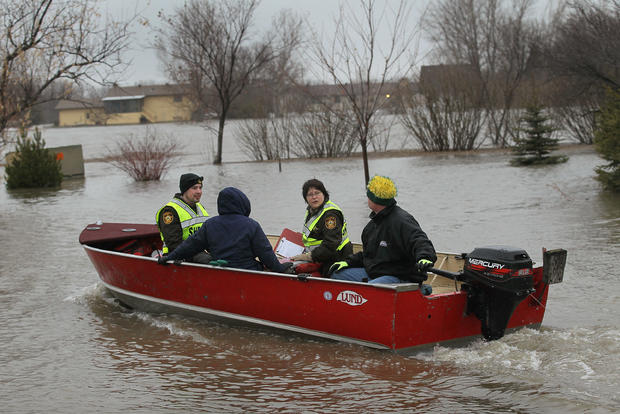
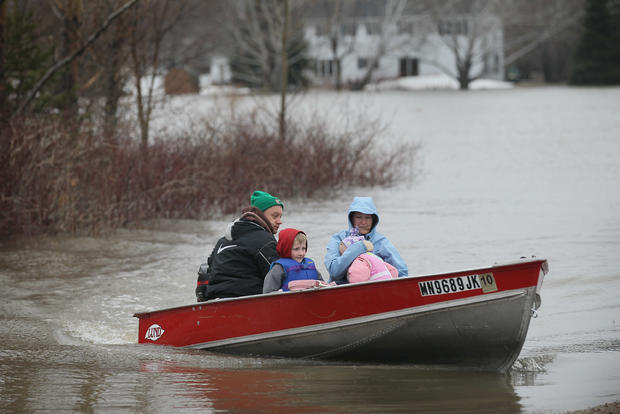
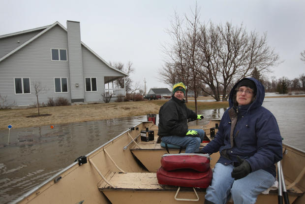
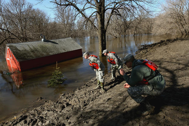
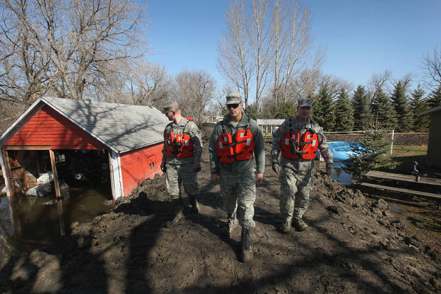
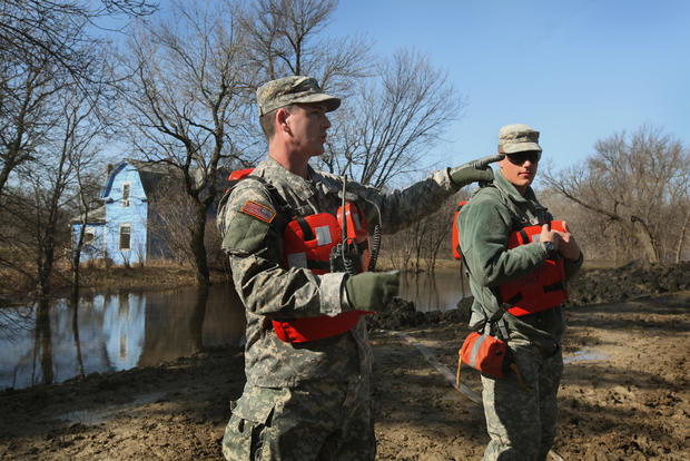
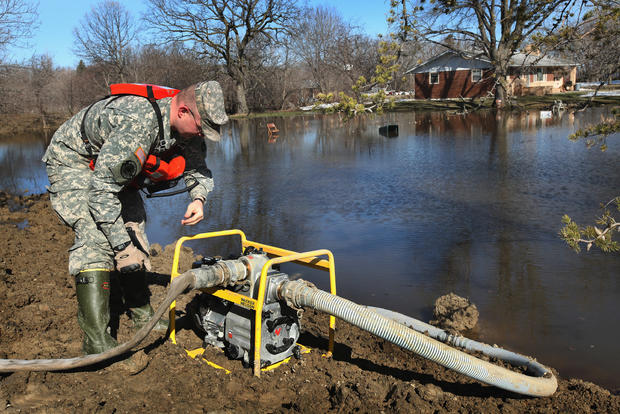
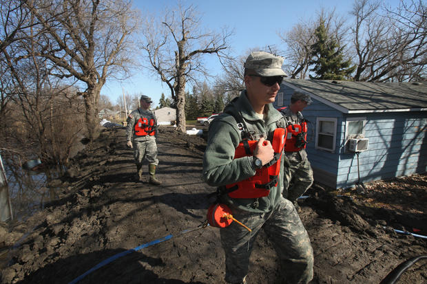
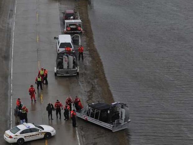
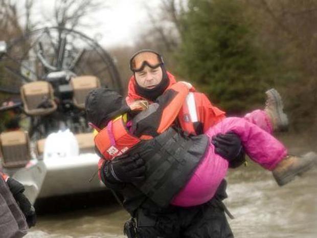
Minnesota Guard responds to Red River flood
Minnesota Guard responds to Red River flood
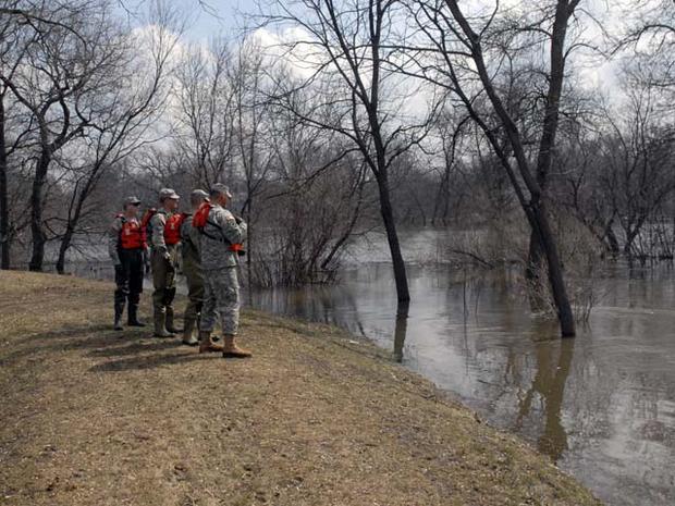
Minnesota Guard responds to Red River flood
Minnesota Guard responds to Red River flood