Weather Blog: Feels Like March
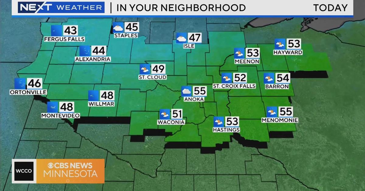
MINNEAPOLIS (WCCO) -- We start our Thursday with the coolest air since late March. At least the wind will be lighter, but the teens feel cold.
Don't expect a warm finish as the cold pool of air remains entrenched over the region until Friday.
A low pressure system will race across the international border bringing some light flurries to extreme northern Minnesota Friday and warm air across the southern half of the state.
So, soak up the feel of the mid-40s as things cool Saturday when our storm arrives.
It still looks like rain during the day with a transition to wet snow as cooler air streams in by nightfall.
The best chance of snow will be north of the Twin Cities.
This storm track could change, so keep checking in with WCCO.
Most models clear the storm by Sunday, but it will be cold again with a strong wind behind the storm.


