Get Ready To See Snow On Wednesday
MINNEAPOLIS (WCCO) – Minnesotans should expect to see snowflakes falling soon with the last of the autumn leaves.
The WCCO Weather Team says the snow will likely come Wednesday night, as a storm system swirls over the state.
Future radar shows the flakes will likely fall first in northern Minnesota before swinging over the southern part of the state, including the Twin Cities metro.
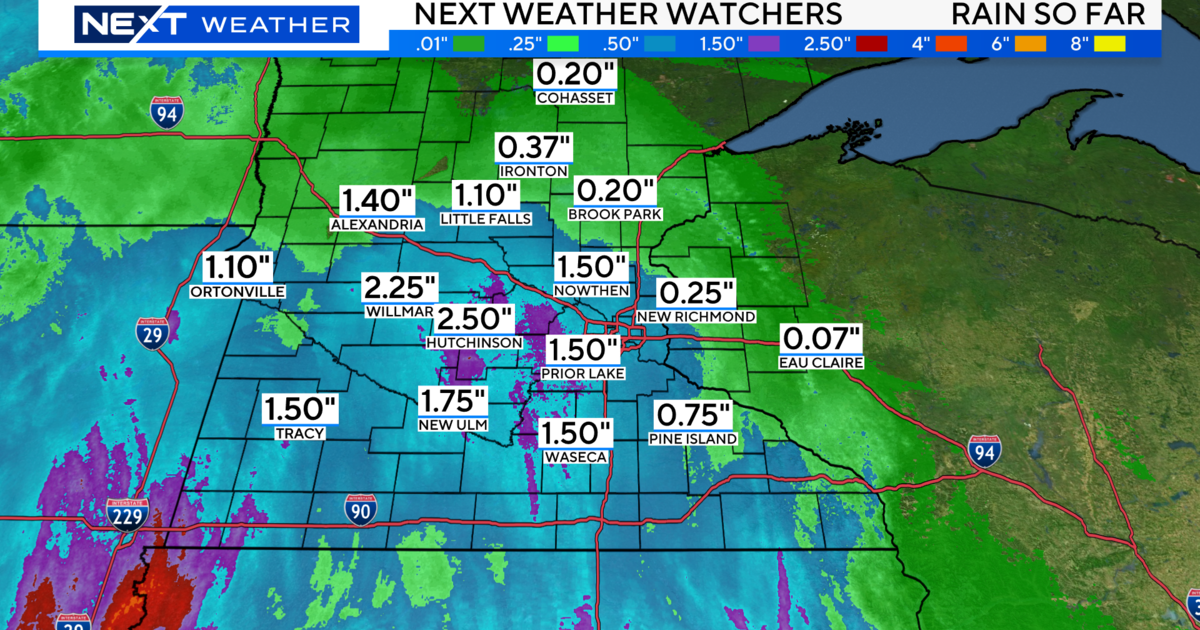
The storm system is slated to move in on Tuesday afternoon, bringing rain. The rain will continue through the day Wednesday, and during the night it will turn to snow in some areas.
But don't expect much accumulation.
"No one is going to breakout the shovel Thursday morning," WCCO Meteorologist Matt Brickman said. "But it could get a little slushy on Wednesday night, that could make roads and other surfaces a little slippery."
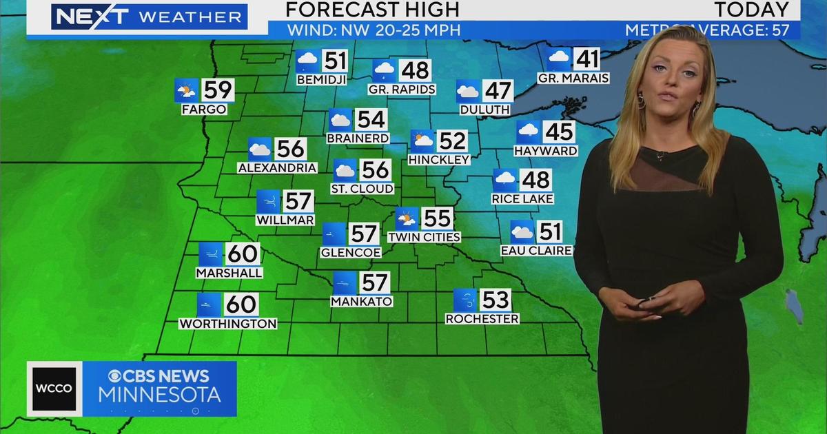
In northern Minnesota, around Brainerd and Bemidji, it might be cold enough for about an inch or two of slush to stack up.
"But even that will melt very quickly," Brickman said.
The winds might also make things messy. Gusts could reach up to 30 mph on Wednesday.
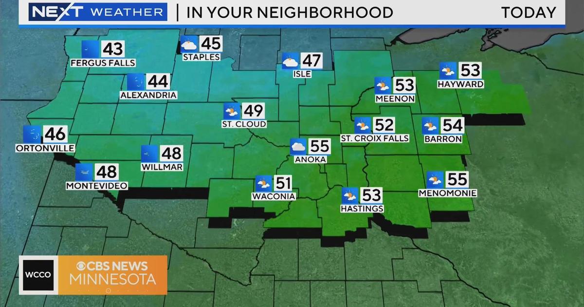
The snowy forecast comes after a streak of mild autumn weather.
According to meteorologist Mike Augustyniak, the Twin Cities metro is about a week away from having the latest freeze ever.
The current record for the latest freeze in the metro is Nov. 7, 1900.
The average first freeze happens on Oct. 8.
What's the Halloween forecast look like?
Showers in the morning, but dry conditions for trick-or-treating.
The highs Saturday will be in the mid-50s.


