Southern Minnesota Bracing For Friday Snow
MINNEAPOLIS (WCCO) -- We've got a definite change in the weather coming all across the state.
Strong winds arrived Thursday and brought much colder temperatures to the Twin Cities and across Minnesota. But that's just the beginning.
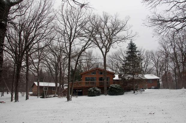
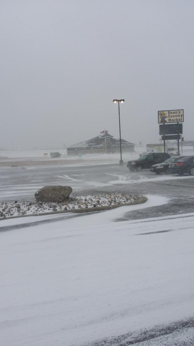
We got our first taste of snow as viewers sent in photos from Clearwater and Perham of their homes and lawns covered with snow. There were a lot of flakes, but the strong winds were making it hard to see on the roads.
People in far southern and southeastern Minnesota are bracing for the first big winter storm of the season, which is coming Friday afternoon.
WCCO Meteorologist Chris Shaffer says snow will accumulate by Friday night, and the heaviest bands will likely stay in northern Iowa. That area could see as much as six to 10 inches of snow. Areas along Interstate 90 and south near the border could see one to three inches of snow by Friday night.
So far, there haven't been any watches are warnings issued by the National Weather Service. But that can always change, so stay tuned.
Shaffer said we'll have highs in the 30s this weekend before things warm up slightly to start next week. If you're heading to the Vikings/Packers game Sunday, it will be dry but it will be chilly with highs in the mid-30s.