Rounds Of Possibly Severe Storms On The Way
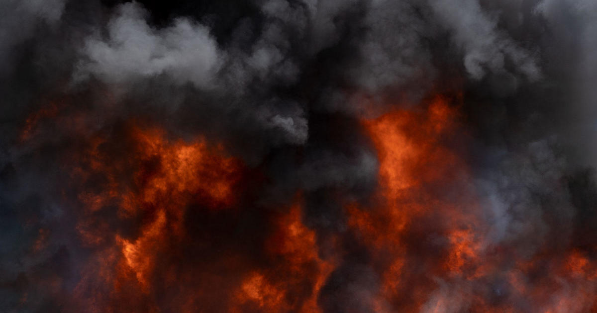
MINNEAPOLIS (WCCO) – After severe storms tore through central Minnesota Tuesday night -- downing tress and power lines, causing outages and flash flooding – two more rounds of potentially severe weather are brewing.
The National Weather Service says the storms look to hit Minnesota early Thursday morning and again in the evening.
For the first round, much of central Minnesota, including the Twin Cities metro, is expected to see a marginal risk of severe weather. However, the southwest corner of the state is expected to see an enhanced risk of severe weather.
WCCO-TV forecaster Kylie Bearse says the first line of storms will start popping up in extreme southwestern Minnesota around 1:30 a.m. Thursday.
The line of storms will stretch north into central Minnesota, and will likely hit the Twin Cities metro around 4 a.m., clearing out for the later part of the morning commute.
The second round of storms is slated to kick up around 6 p.m. Thursday, with possible severe storms rolling into west-central and northern Minnesota.
This line of storms is expected to gain strength as it washes over the state, hitting the metro around 9 p.m.
"It's not looking like the atmosphere will be as quite as unstable as what we had [Tuesday]," Bearse said, "but definitely could still cause some damage."
Most of central Minnesota will see an enhanced risk of severe weather Thursday night, the National Weather Service says.
Looking ahead, Saturday looks to be sunny with highs in the low 80s. Next chance of rain comes early next week.
RELATED: Download The WCCO Weather App