Minnesota Weather: This Winter-Like Weather Doesn't Look To Be Going Anywhere Soon
MINNEAPOLIS (WCCO) – Winter-like weather has descended on Minnesota, and forecasters say it looks to stick around well into November.
The National Weather Service said Wednesday that the next two weeks have a high chance of below-average temperatures settling on the state.
There are no signs of above normal temperatures for the foreseeable future. Normal highs this time of year are near 50, but the forecast calls for highs 10 to 15 degrees colder than that through next week. pic.twitter.com/r6KHDQol57
— NWS Twin Cities (@NWSTwinCities) October 30, 2019
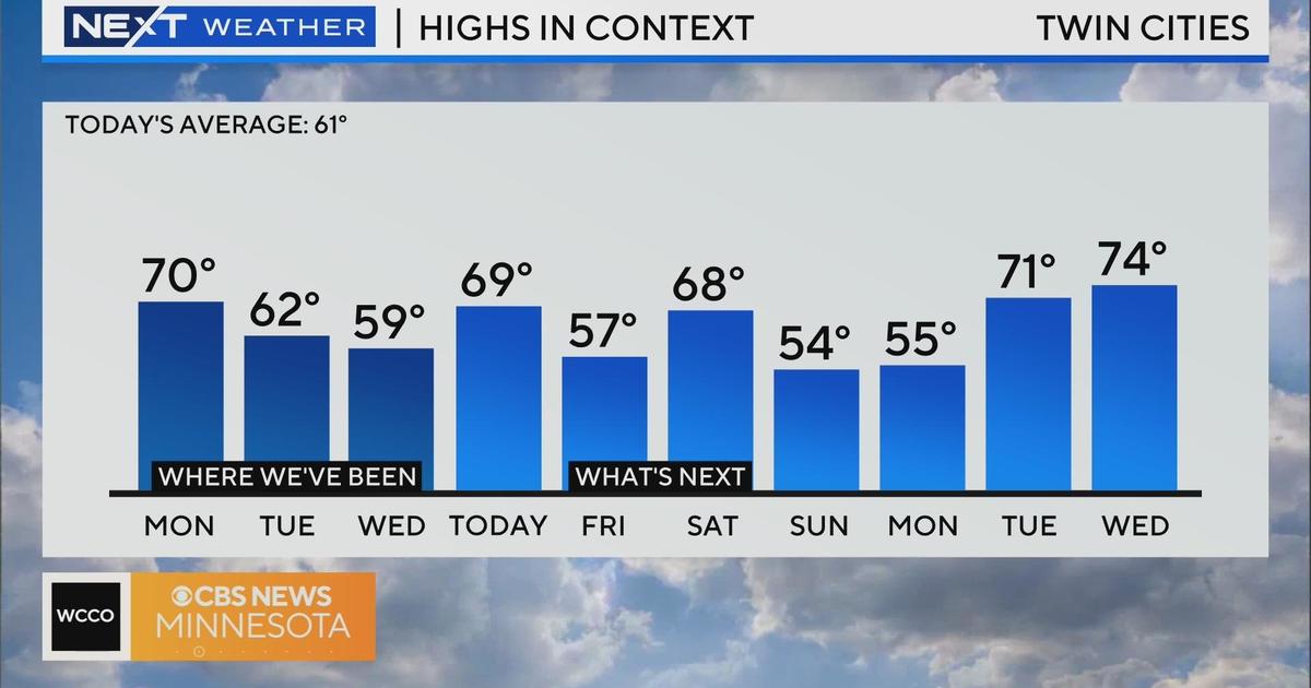
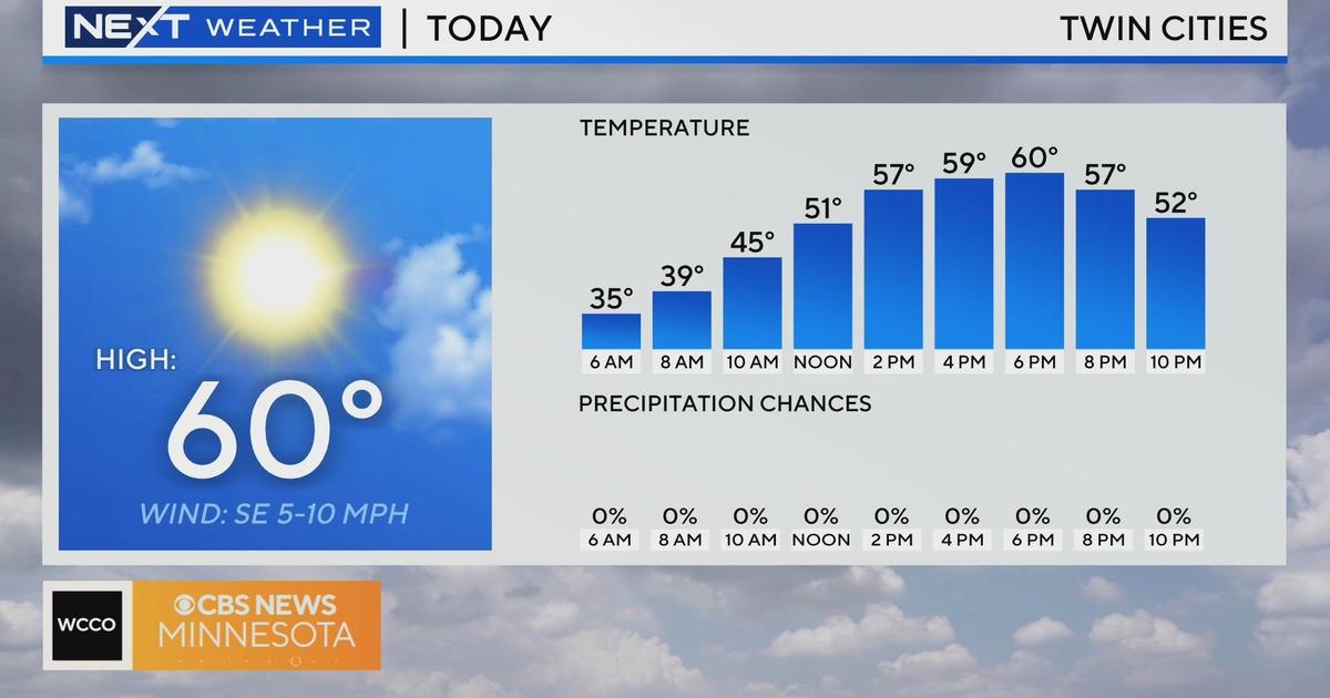
According to U.S. climate data, the average daily high temperature for late October in the Twin Cities is 50 degrees. On Wednesday, the forecasted high for Minneapolis was in the upper 30s.
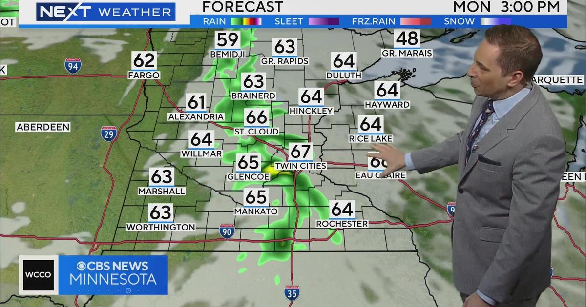
Temperatures are expected to climb closer to average over the weekend before plunging back to well-below average territory during the workweek. Additionally, there looks to be chances for rain and snow showers.
Why knows? Perhaps a warmup will come in the second half of November. Still, by Thanksgiving, the average high in the Twin Cities is about 32 degrees.