Minnesota Weather: Accumulating Snow To Fall On Most Of Minn., Western Wis. Tuesday
MINNEAPOLIS (WCCO) -- Consider Monday's trace amounts of snow as an appetizer for what's to come.
Pretty much all of Minnesota and western Wisconsin will be impacted by a storm system Tuesday that's packing heavy, wet accumulating snow, according to WCCO Meteorologist Chris Shaffer.
A Winter Weather Advisory is in effect, with the main problem being travel. On a positive note, warm road surfaces will melt most of the initial snowfall, and the lack of cars on the roads due to remote work and distance learning will also cut down on potential accidents.
Monday's high of 34 was typical of Thanksgiving or the end of November. It may be a degree or two warmer Tuesday, but with temps in the 30s, wet snow will be sticking to the tree branches, and of course, patio furniture.
Early risers in southwestern and western Minnesota will be the first to see the flakes start flying in the 6 a.m. hour or so.
The system will hit the Twin Cities in the late morning, with heavy accumulation in play between 1 p.m. and 4 p.m. It will taper off late Tuesday night.
Most accumulation models are in the 2- to 4-inch range for much of the state. Some models show a possible 6 inches in the metro, but not all of that would accumulate.
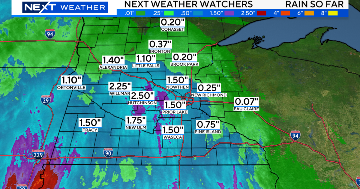
Rain is expected for Wednesday for most of Minnesota, which will decimate the remaining snow. Rains will be heavy in some parts of the state, with some thunderstorms possible. Unfortunately for folks in northern Minnesota, Wednesday's precipitation will likely result in more snow.
Temperatures stay in the 30s for the rest of the week, with below-freezing lows. And the hits don't stop coming, because another storm system is possibly heading our way this weekend.


