Freak Weather Extremes Possible Wednesday: 'It's Pretty Rare To Have Snow And Tornadoes'
Stay Informed: WCCO Weather App | Live Radars | Weather Page
CHANHASSEN, Minn. (WCCO) -- A summer-like storm in mid-December is unexpected, to say the least.
At the National Weather Service in Chanhassen, a balloon is heading to the top of the atmosphere to help meteorologists. And Wednesday, meteorologist Melissa Dye and her team will be working overtime -- because it's going to be a wild ride.
"This will all go into the models and give us a better look at what's going on," Dye said. "It's a really complex system with all kinds of weather hazards."
She says anything is possible Wednesday. In the morning, you can probably get away with a light jacket due to above-freezing temperatures. It will feel more like a late fall or early spring day than mid-December
By the afternoon and in the evening, rain and storms move in and the winds pick up, with possible severe weather by Thursday morning. Then it's back to parkas and boots, with wind chills near zero and refreeze potential.
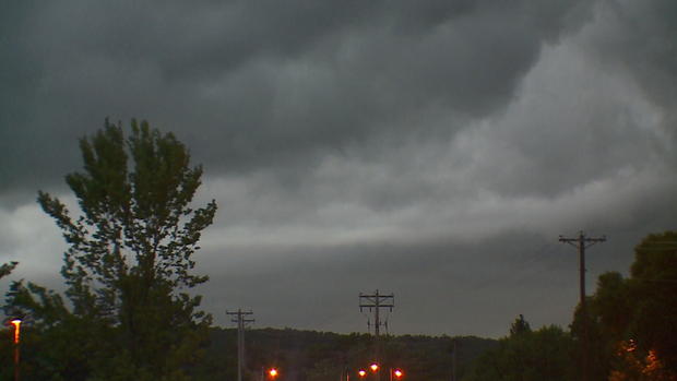
"Main concerns with that are going to be damaging winds and there is a threat for tornados," Dye said. "It's pretty rare to have snow and tornadoes."
The latest tornado on record in Minnesota was Nov. 16, 1931. But there is another record that may be broken: the high temperature.
And if a severe thunderstorm warning is issued, Dye says that will be the second one ever during a Minnesota December.
"The high wind warning, that's pretty rare," Dye said. "If you have holiday decorations out, make sure that those are secured because they will be blowing away."
It will be an important day to stay weather alert. The National Weather Service says winds will pick up in the afternoon, with possible gust of 50 mph to 60 mph.