Minnesota Weather: A Wild December
MINNEAPOLIS (WCCO) -- It's been a wild, historic December in Minnesota.
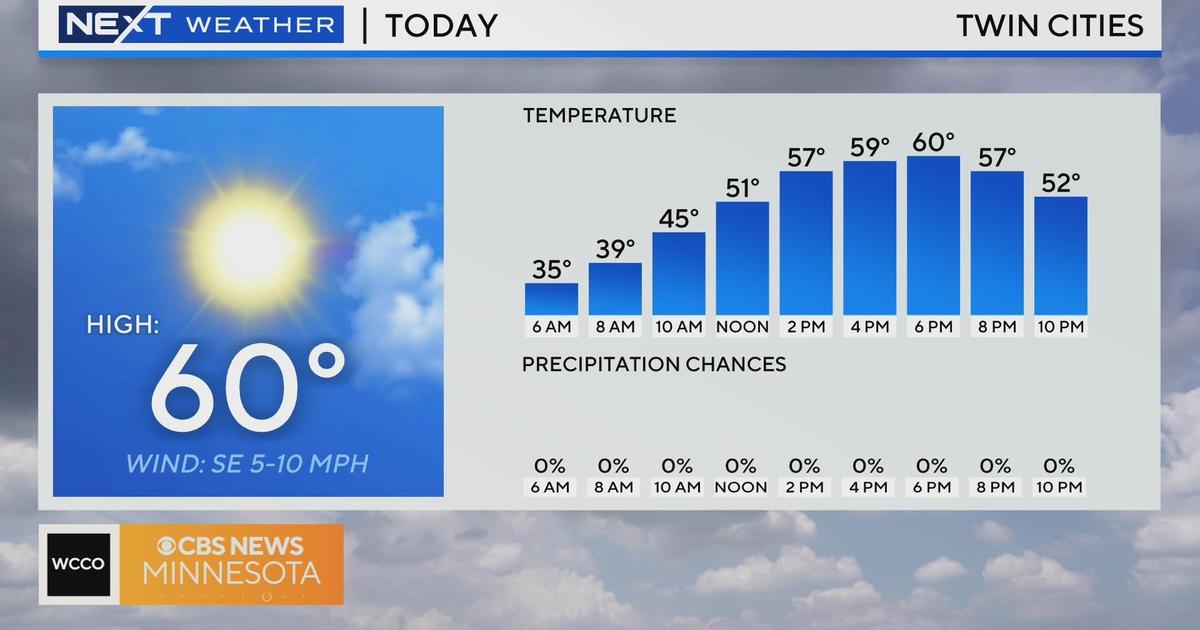
The month started with mild weather and temperatures in the 50s. That's about 20 degrees warmer than average for that time of year.
About two weeks in, a snowstorm dumped more than a foot of snow on parts of the Twin Cities metro. But the snow didn't stick around for long.
Just days later, on Dec. 15, a surge of warm air brought thunderstorms to southern Minnesota. The state saw its first-recorded December tornadoes, with nine of them confirmed in southeastern Minnesota.
On Sunday, another round of snow hit the state, and some central Minnesota communities saw nearly 20 inches stack up.
So far, the monthly snow total in the Twin Cities is at 19.3 inches.
"All we need in the Twin Cities is about 1.6 inches of snow and we'll be in the top 10 snowiest Decembers on record," said Pete Boulay, the Minnesota state climatologist. "So, it won't take much more for us to climb up that snow ladder."
Snow is in the forecast for Tuesday. According to WCCO's meteorologists, the Twin Cities could see 1 to 2 inches fall in the afternoon. After that, a cold front moves in, bringing a blast of arctic air.
Thursday could also bring the chance for flurries, perhaps enough to put 2021 in the top 10 list for the Twin Cities.


