MN WEATHER: January Thaw Starts Tuesday; Widespread Snow Possible Friday
Stay Informed: WCCO Weather App | Live Radars | School Closings & Delays | More
MINNEAPOLIS (WCCO) -- After a dangerously cold start to the new year, a big warm-up is on the way.
Heavy winds will roll out by Monday evening, and a warming trend kicks in the late evening into Tuesday. It will get up to 30 degrees in the metro Tuesday, while parts of central, western and southwestern Minnesota will be in the mid-30s to low-40s.
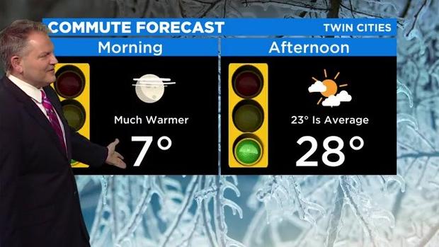
Minnesota will stay in the mid-20 to low 30s through the weekend, with the warmest day of the week expected to be Thursday -- where the Twin Cities could reach 32 degrees.
The next chance for snow is late Wednesday night through early Thursday morning, but this is expected to be a lightweight system that, at its worse, will make the morning commute a slippery one. At this point it looks like it will impact northwest, central and southeast Minnesota, as well as the metro.
A middleweight system follows right behind, bringing widespread snowfall. It will start to move into Minnesota late Thursday night and hang around through early Saturday morning. Snow totals are expected to range between 2 to 5 inches.
Temperatures will then cool into the low 20s for the weekend and the beginning of next week.