More 'Hope It's The Season's Last' Snow Expected
MINNEAPOLIS (WCCO) -- If Jean-Paul Sartre were alive today and living in the Minnesota, you could bet he'd be working on his final revisions for his new hit play "Snow Exit."
Yes, another round of snow is expected to move across the state over the next few days. A winter storm watch has been issued for much of the state, including the Twin Cities metro area, from Thursday into Friday morning.
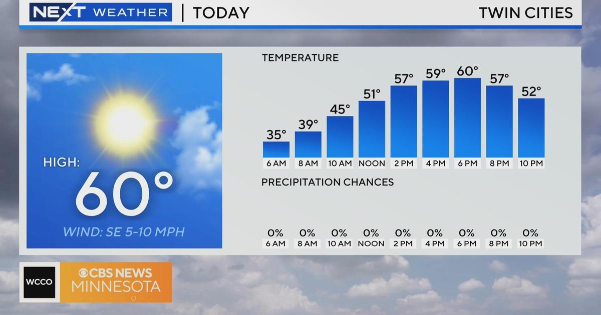
WCCO director of meteorology said that after Tuesday's sunshine, Wednesday should see a return to overcast conditions, with highs in the low 40s in the Twin Cities.
By later this evening, a line of rain is expected to move into the area, one which could potentially barge into this evening's Twins game at Target Field.
Wednesday evening's precipitation is expected to come in the form of snow in the northwestern part of the state. The Twin Cities could start seeing snow late Thursday morning or into the afternoon.
In all, the metro area could see from 1 to 3 inches of new snow, whereas a large band of the state stretching from west central toward northeastern Minnesota could see snow totals ranging from 6 to 10 inches over the next few days.
Those hoping for a big spring break will have to take comfort in buying tickets to Sartre's play. The seven-day forecast still calls for high temperatures to stall out in the 40s.