Severe Weather Could Hit Twin Cities Wednesday
MINNEAPOLIS (WCCO) – If you're out and about Wednesday afternoon and evening, you're encouraged to have a radio near you and be prepared for rough weather.
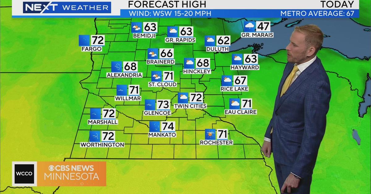
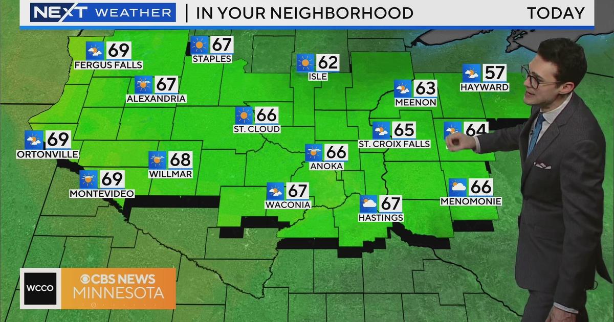
After having several days in the high 50s and low 60s, we'll finally see a high temperature above 70 Wednesday and the sun should even make an appearance. Other than fog in some areas, the morning is relatively quiet around the state but things will get active in the afternoon hours.
WCCO Director of Meteorology Mike Augustyniak said a warm front will pass through the region, giving us a chance for some scattered showers and a few thunderstorms early in the afternoon. But later in the afternoon, a more organized pattern of strong storms is expected to develop in southern and western Minnesota and head toward the Twin Cities metro.
The areas of greatest concern for severe weather are from the Twin Cities and stretching to the south and west. Augustyniak said the storms, if they develop, will start late this afternoon and into the evening. We could experience damaging winds and hail, and there's even a threat for tornadoes.
Augustyniak said there's chances for storms and some severe weather in the region through Friday.
Keep your eye on the sky and check WCCO.com for updates as well as our forecasts throughout the day.