Weather Blog: Round Two Coming
By Chris Shaffer, WCCO-TV
MINNEAPOLIS (WCCO) -- Round one of the weather double-header left the Twin Cities quite soggy with heavy snow west and north. Round two is a stronger storm that will follow a similar path.
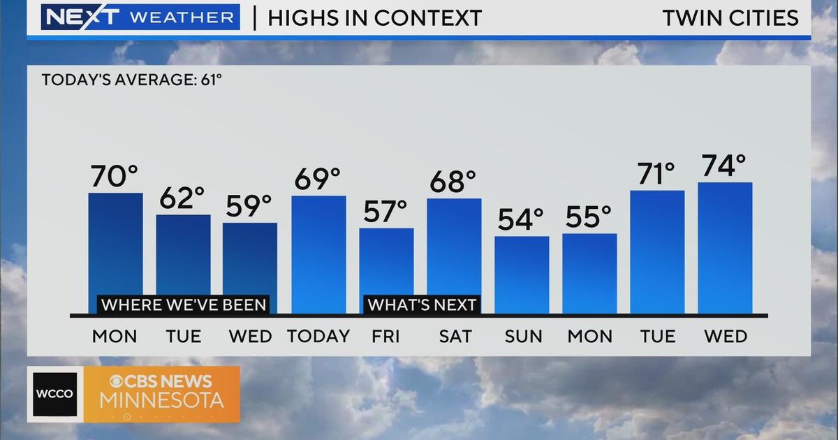
The main difference will be the cold air that wrapped around the back of storm one. We will not warm to the low 40s again, instead staying in the 20s for highs. That will mess with our precipitation.
Expect a brief window of freezing drizzle late Friday morning with a transition to sleet and eventually snow. We could see 1-2" by the time it wraps up in the form of flurries on Saturday.
West central and northern Minnesota should expect heavy snow on Friday with a strong wind that will cause visibility and travel difficulties.
We will all have to endure the cold temps this weekend before we slowly warm into next week.
WCCO-TV's Chris Shaffer Reports


