Calm Monday Before A Winter Storm Tuesday?
MINNEAPOLIS (WCCO) – Enjoy Monday's sun if you can, because some big changes are on the way in the form of a winter storm this week.
We'll have a quiet Monday with plenty of sun and a high in the upper 20s, but Tuesday is expected to be a mess in the form of what could be our biggest snowfall of the season so far. Our only significant storm of the season produced about four inches of snow around most parts of the Twin Cities metro.
Tuesday's is expected to rival that and maybe exceed it in some parts of the state. Meteorologist Lauren Casey said snow could start falling overnight Monday, but the heaviest snow is expected across the state Tuesday as most of us wake up and head out for the morning commute.
It's still too early to predict how much snow we'll get, but Casey said don't be surprised if some areas get up to six inches of snow. The storm should wrap up by early afternoon Tuesday, with blustery and cold conditions to follow until the end of the week. The National Weather Service has already issued a Blizzard Watch for parts of western Minnesota on Tuesday with the potential for high winds to create blowing snow and hazardous driving conditons.
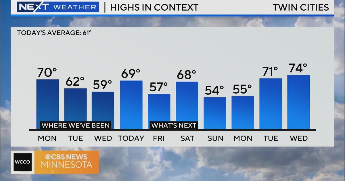
We could be back in the 30s for a high temperature by Friday, and the long-range outlook hints at highs near 50 by the second week of March.
So don't put away those shovels and snow-blowers just yet.


