Potentially Severe Storms Moving Into Minn. Wednesday Night
MINNEAPOLIS (WCCO) -- Our warmest temperatures so far this year are setting the stage for a potentially stormy night.
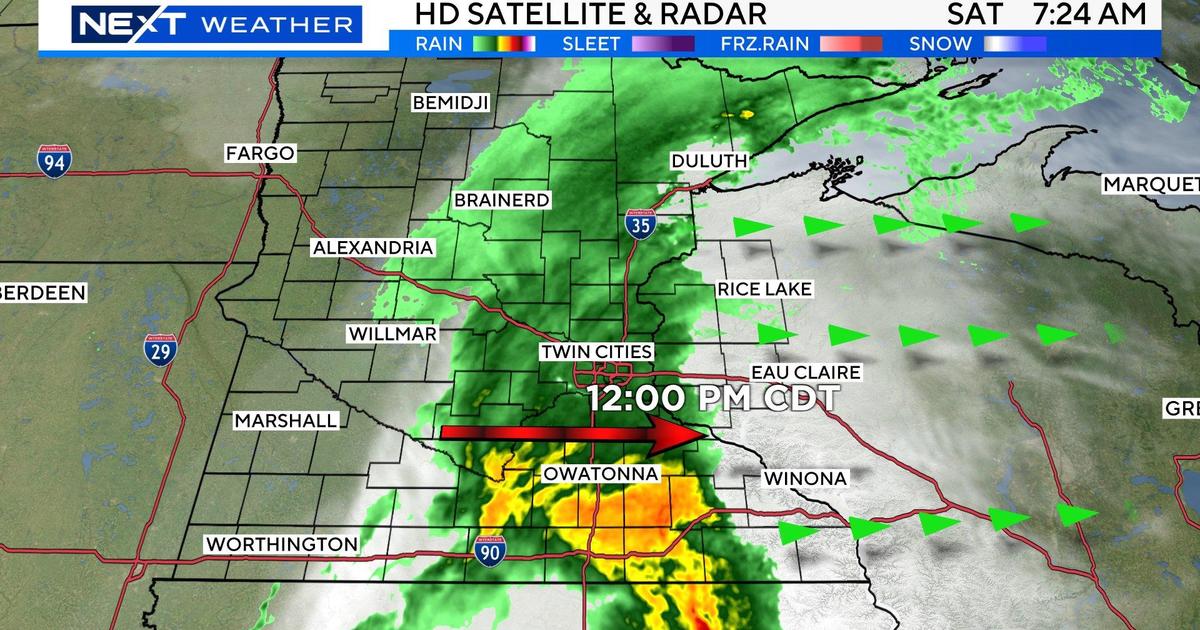
A line of storms will develop from the Twin Cities through southern Minnesota this evening and carry with it a chance for severe storms to develop.
The location most likely to see severe weather will be in south central Minnesota, where damaging winds and large hail are possible.
Less likely, but still possible, are the development of isolated tornadoes.
The cold front should pass through Minnesota and western Wisconsin overnight, but strong winds will persist into the day on Thursday.
To stay up-to-date on all things weather, click here to download our weather app for iPhone or Android.