Significant Snowfall & Strong Winds To Hit Southern Minn. Overnight
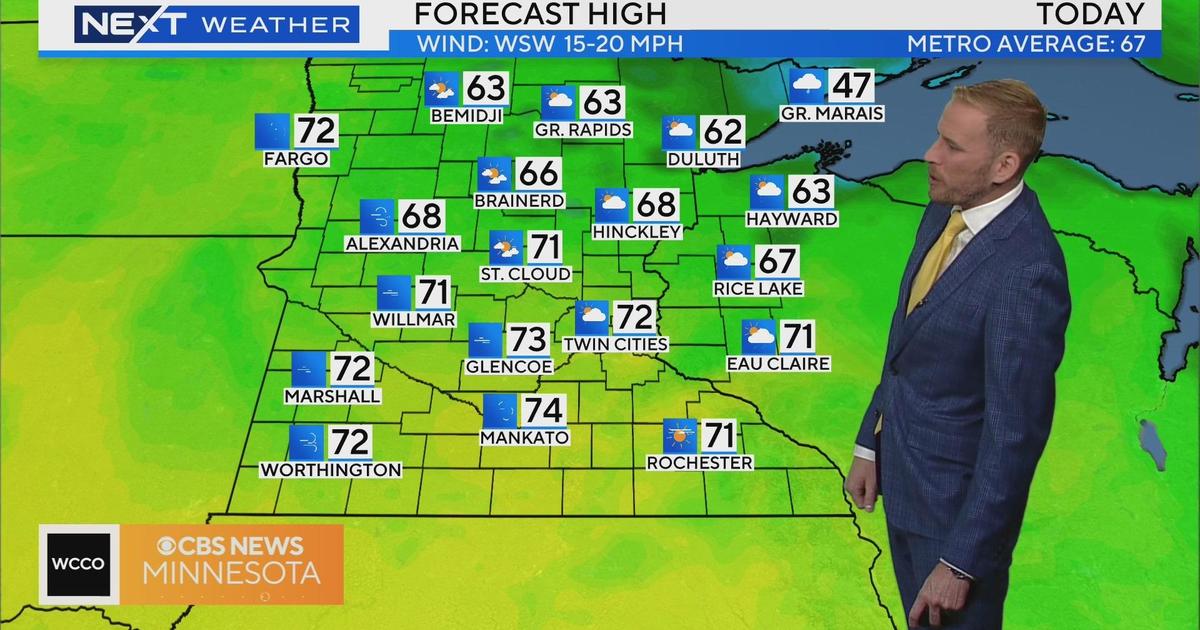
MINNEAPOLIS (WCCO) -- After a breezy Thursday that will see temps in the low-40s, a significant winter storm is expected to hit southern Minnesota hard beginning overnight – affecting both the morning and evening commutes.
According to meteorologist Matt Brickman, the path of the winter storm has shifted a little further southeast since Wednesday's forecast, but southeastern and southcentral -- and even the south metro -- are still expected to receive a lot of snow.
South central Minnesota, southeastern Minnesota, and western Wisconsin are in line to see between 8 and 12 inches of snow. A few towns could see localized amounts up to 16 inches.
In anticipation of the snow overnight, Rochester and Austin public schools will be closed Friday.

As the snow storm tracks northeast into Minnesota, southwestern Minnesota could begin seeing snow as early as late-afternoon Thursday.
However, it really picks up overnight and into Friday morning -- just in time for the morning drive.
"I think things are going to get really messy right around 6-7 o'clock (Friday) morning," Brickman said. "Down to the south and southwest, you could see whiteout conditions early (Friday) morning as that snow picks up and the winds crank up as well."
Brickman says due to the recent warm temperatures, we may lose some of the initial snowfall to melting.
"The ground is a bit warmer after we got rid of some of that snowpack and we've done a little bit of thawing … but snowfall rates are going to be heavy enough that it'll be able to overcome that and snow will start stacking up," Brickman said.
Through the day Friday, snow will continue to mount – paired with strong winds.
The Twin Cities is right on the line that will separate heavy snowfall and no snowfall. With such a sharp cutoff, even a 20- to 40-mile shift in storm track could lead to snow amounts that are three or four times as much as the current forecast, or nothing at all. As of now the most likely outcome is for downtown areas to get a coating to 2 inches of snow, with little to no snow in the north metro, and 3 to 6 inches in the southeast metro.
Winds are expected to be 25 to 35 mph.
A slight cool-down follows the storm with temps in the low- to mid-30s as we move through the weekend. Morning temps will be in the teens, which will keep the snow around for a while.