Heavy Rains, Storms Washing Across Central, Southern Minnesota
MINNEAPOLIS (WCCO) – A system of heavy showers and thunderstorms is bringing a double-whammy of stormy weather Thursday to southern and central Minnesota.
Meteorologist Kylie Bearse says the system tracking east across the state has two parts: a larger one dumping rain on the central part of the state, and a smaller one creating lightning-filled storms in the south.
Storms are currently over Southern MN & West Central WI with additional storm development possible throughout much of the day. #MNwx #WIwx pic.twitter.com/tEAnzkKHsZ
— NWS Twin Cities (@NWSTwinCities) June 22, 2017
Severe thunderstorm warnings were issued Thursday morning for several counties in southern Minnesota, where the system's smaller offshoot brought storms with up to 50 mph winds and ping pong-ball-sized hail.
As whole, the system will continue moving east across the state, with scattered thunderstorms firing up until the late afternoon and evening.
The Twin Cities metro will likely see showers through the early afternoon, but they are expected to taper off a little before the evening rush hour.
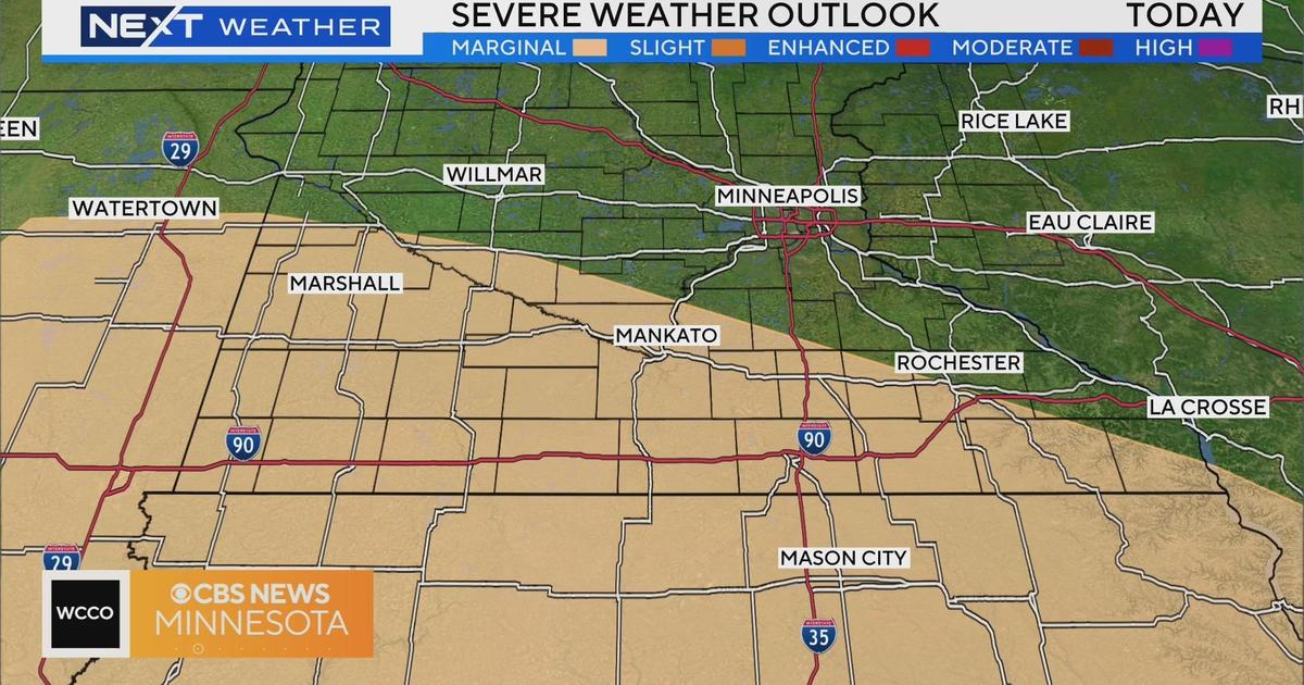
In the evening, the storm system will drop to the southeast, bringing the potential for storms along the Minnesota-Wisconsin border. The area is under a slight risk for severe weather Thursday evening, the National Weather Service says.
Looking ahead, Friday is expected to be sunny and cool, with highs only reaching into the low 70s. Highs this time of year are typically in the low 80s.
On Saturday, the clouds return, bringing the chance for isolated thunderstorms. Temperatures will remain cool throughout the weekend, but a warm-up is expected early in the workweek.