Minnesota Weather: Next Stretch Of Storms Could Double Last Week's Snow
MINNEAPOLIS (WCCO) -- WCCO-TV Meteorologist Mike Augustyniak says this season's wintriest stretch kicks off Sunday.
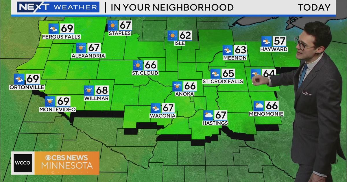
We pushed above zero degrees Saturday, and will see highs in the low-to-high 20s for the next six days or so. Light snow makes its way across a band of northern Minnesota Saturday, passing from Fargo through Duluth.
The next round moves in southern Minnesota early Sunday morning and will last through late afternoon. The Twin Cities will see less than 2 inches of snow, with cities like Worthington and Owatonna see closer to 3 inches. Much of the state above Interstate 94 will only get a dusting.
But that's not all, folks. Snow is expected to return Monday night and continue through Tuesday -- leaving a plowable amount in its wake.
The next significant storm threat is forecasted for Thursday into Friday, and models show another system is possible after next weekend.
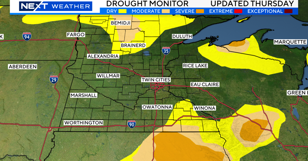
Augustyniak says Minnesota has accumulated 28.2 inches of snow so far this season, which is 8 inches below average. This week alone, 10.4 inches fell -- and that number could double after what's coming our way this next week.