Minnesota Weather: Another Half Foot Of Snow Possible For Northern, Central Minnesota
MINNEAPOLIS (WCCO) -- After Tuesday's record-breaking winter storm dropped several inches of snow across Minnesota, another dollop of winter is headed for the northern and central parts of the state.
The National Weather Service has issued a winter storm watch for much of the northern half of Minnesota, extending from Grand Rapids to Grand Marais in the north and from Morris to Hinkley in central Minnesota. The watch is slated to go into effect late Wednesday night as a snow system pushes into the state from the Dakotas. The snow is expected to fall through Thursday evening, with snowfall rates as heavy as an inch per hour.
Accumulations over 6 inches are possible, national forecasters say, especially along the line from Morris to Lake Mille Lacs. Drivers should expect difficult travel conditions during the morning and evening commutes. Keep in mind, this snow comes after communities in northern and central Minnesota saw between 2 to 6 inches of snowfall on Tuesday.
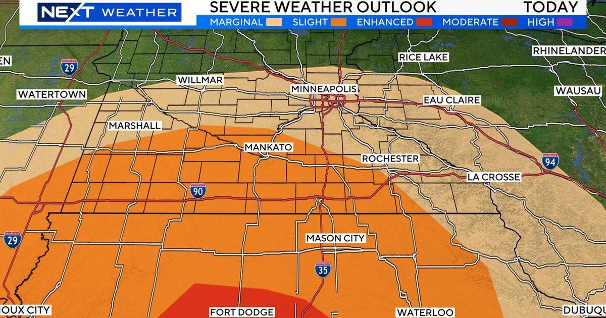
As snow falls up north Thursday morning, rain will push into Minnesota from the south, WCCO-TV meteorologist Mike Augustyniak says. However, if air temperatures prove to be a degree or two cooler than expected Thursday, it could result in a few hours of freezing rain and sleet.
"If that happens, it's going to be a big problem on the roads," Augustyniak said, adding that the more likely scenario is that southern Minnesota sees mostly rain, with trace amounts of ice near the Twin Cities and perhaps a tenth of an inch in southwestern Minnesota.
Still, any ice could be hazardous for drivers, and accumulating ice could bring down tree limbs, as many trees still have their leaves. As it stands Wednesday morning, Augustyniak says that a narrow zone of several hours of freezing rain is possible from Willmar to St. Cloud to Grantsburg, Wisconsin.
Looking ahead, the weekend will be chilly, with high temperatures struggling to reach the upper 30s. Even next week, no warm-up is in sight. Temperatures look to remain well below average for the rest of the month. As for the next chance of snow, that looks to come Sunday.


