Minnesota Weather: Evening Storms Threaten Heavy Rain, Large Hail
MINNEAPOLIS (WCCO) -- While the weekend's comfortable fall weather continued through much of Monday morning and early afternoon, storms are expected to rumble in the evening across southern Minnesota.
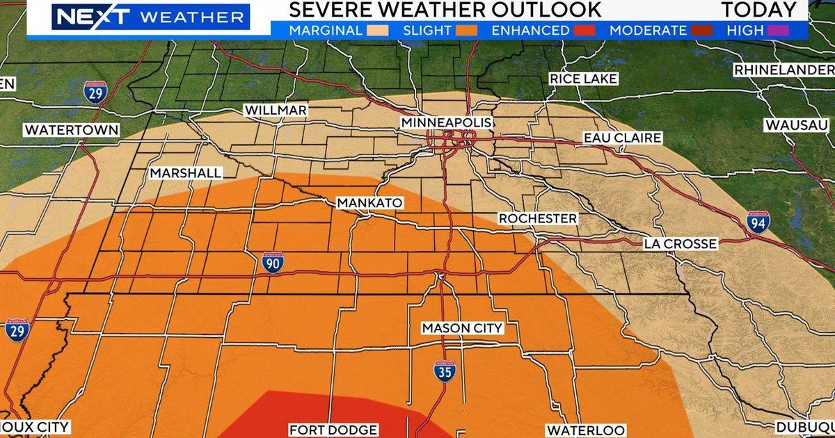
The National Weather Service says storms look to develop in the late afternoon, beginning in western Minnesota and pushing eastward across the state, reaching western Wisconsin late in the night. The storms threaten much of southern Minnesota with large hail and heavy rain. The area nearest the Iowa border could also see damaging winds and even isolated tornadoes.
Meteorologist Chris Shaffer says the storms will likely reach the Twin Cities metro around 8 p.m. The system will wash over the area through the night, with storms lingering into the early morning hours. Rainfall totals could range for a half-inch to 2.5 inches in certain areas, depending on where the heaviest rain bands set up.
While for many places this will still be a much-needed, healthy rainfall -- as much of Minnesota is still dealing with drought conditions following the second-warmest summer recorded in state history -- Shaffer says that it might also be too much of a good thing just north of the metro area.
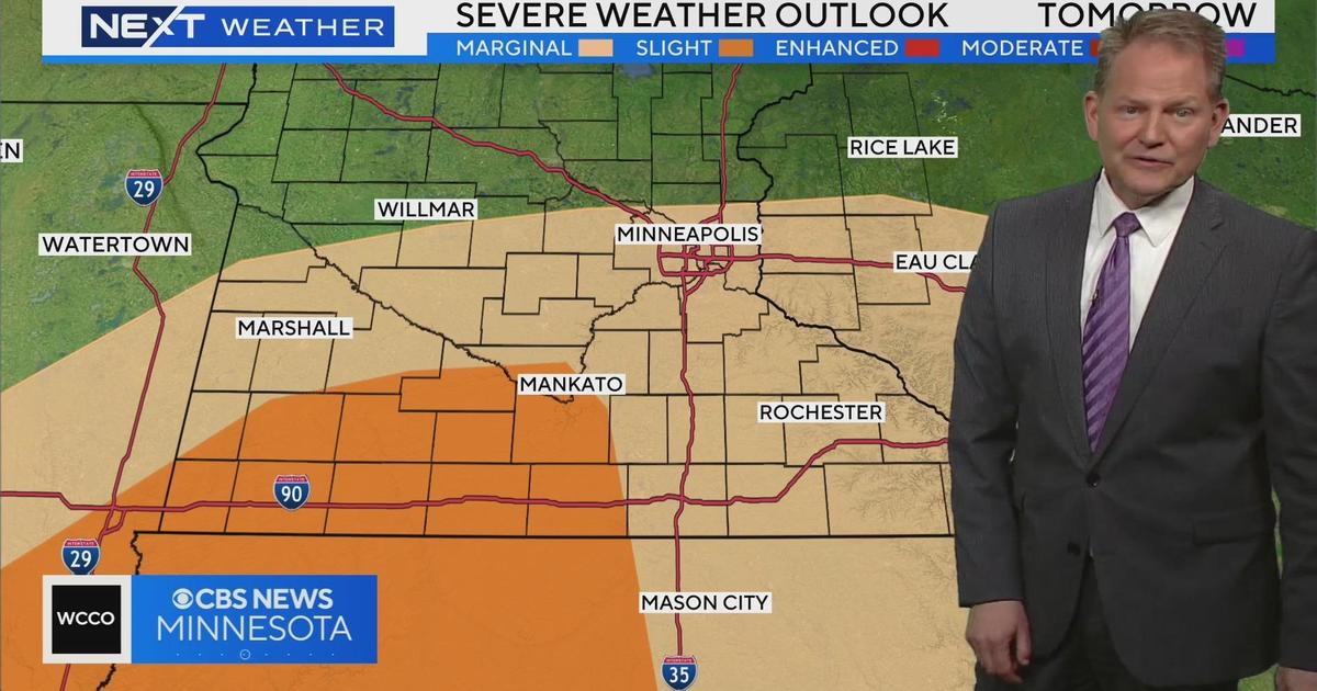
"We need it with our drought conditions, but it could be too-much-too-fast, with flash flooding possible. We will get more rain Thursday into Friday, too," Shaffer said.
Looking ahead, Tuesday is expected to be dry with temperatures in the low 70s. The next chance for rain looks to come Friday and Saturday.