Minnesota Weather: Winter Storm Moves Through State, 1 Killed In Faribault County Crash
MINNEAPOLIS (WCCO) -- Minnesota shared another dance with snow Tuesday as a winter storm system passes through the Midwest and through Minnesota. Southern Minnesota should see the heaviest snow totals.
The snow will continue in parts of the state until around midnight. We still look on track to pick up 2 to 4 inches, with a few pockets getting 5 or maybe 6 inches. The wind will not be strong, and we're not dealing with rain or ice, just a typical late December light snow.
WCCO meteorologist Chris Shaffer says that the snow has already mostly ceased across the southern part of the state as of 8 p.m. The heavier snow had also tapered off in the Twin Cities by 10 p.m.
The metro area will still remain under a Winter Weather Advisory until 6 a.m. Wednesday, though Shaffer said it's possible a number of counties will be dropped from the advisory before then. The wind will pick up in the morning hours Wednesday, blowing some loose snow around.
The Minnesota State Patrol reports that, from noon to 9 p.m., there were 99 crashes statewide, and 119 vehicles spun out or went off the road. Four of the crashes involved injuries, and one was a fatal crash in Faribault County. The victim of that crash, which involved an unbelted driver who left the roadway and rolled several times in Blue Earth City Township, was a 42-year-old man from Windom.
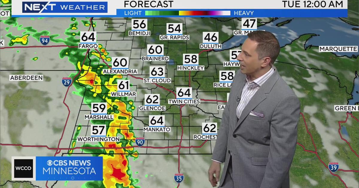
Expect a northwest wind 10 to 15 mph into the evening. Our highs will hover near average (24 degrees) for the next several days, though Thursday should see the clouds hang around for much of the state. New Year's Eve and New Year's Day look to remain quiet.
We remain dry with a few systems likely missing us Friday and Monday. The big headline next week is the potential January thaw with highs creeping into the low-30s.
SNOW EMERGENCIES
Bloomington, Brooklyn Park, Crystal, Eden Prairie and Plymouth have declared snow emergencies Tuesday, among other cities around the state. Click here to find snow emergency information for your city.
-------
Previous Update:
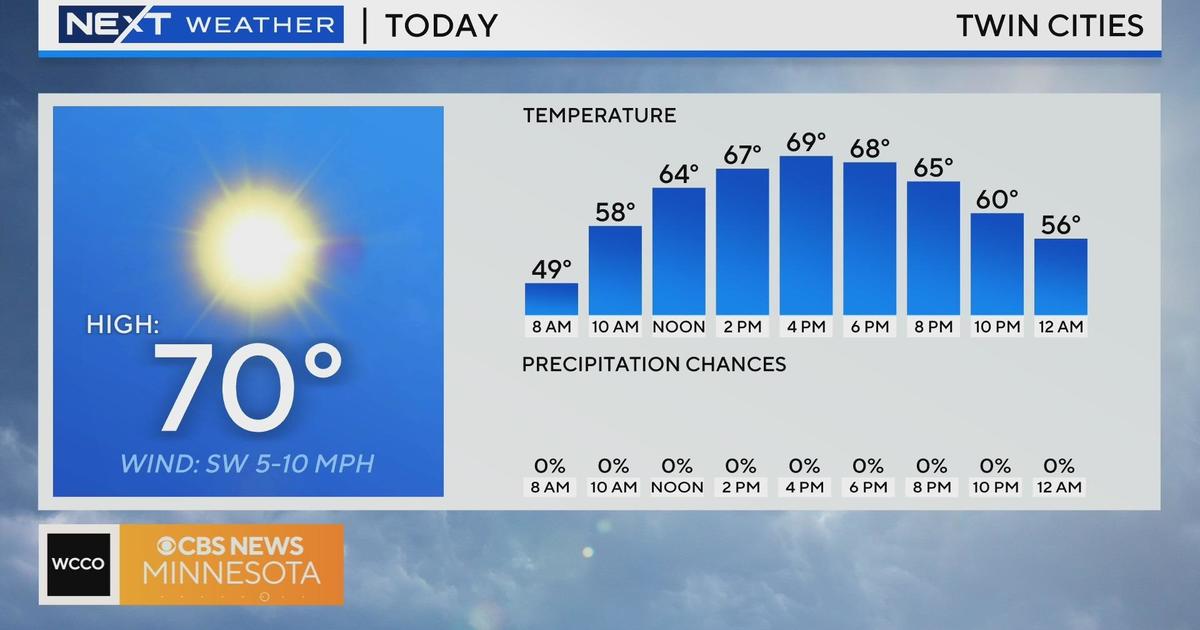
Tuesday's high temperature in the Twin Cities will be 23 degrees, so it won't be a cold day, and it won't be anything like last week's storm, which kicked off with temperatures in the 40s and rain, before temps fell into the 20s, the rain froze, then several inches of snow was plopped on top of it all.
RELATED: MnDOT Making Preparations With Another Round Of Snow Set To Arrive Tuesday
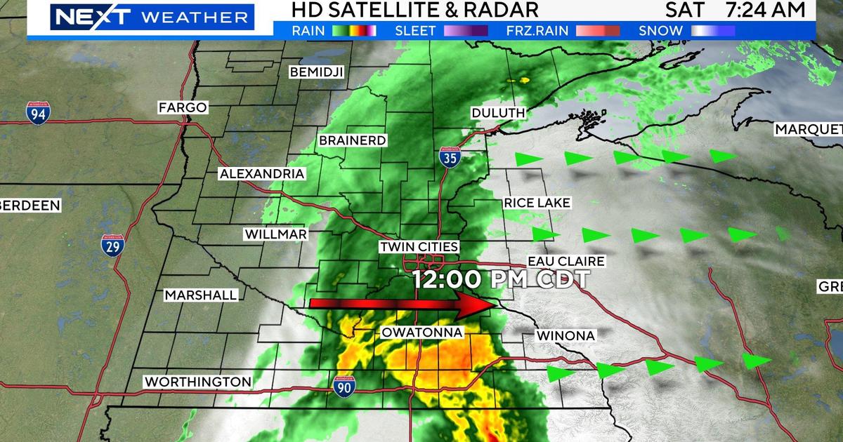
According to WCCO meteorologists, this winter storm will be a traditional light snow event that will cause issues on the roadways. The system will push into southwestern Minnesota during mid-morning Tuesday, and will make it to the Twin Cities between noon and 2 p.m., and then enter western Wisconsin by 3 p.m.
The National Weather Service has issued a widespread Winter Weather Advisory in Minnesota due to the havoc this storm will create on the roads in the afternoon and evening hours. Iowa will be under a Winter Storm Warning, with 6 to 10 inches of snow possible in a few areas. That will not be the case in Minnesota.
The heaviest snow will fall in the metro at about dinnertime, with some scattered flurries later in the evening before it clears out after midnight. The Twin Cities can expect 2 to 5 inches of accumulation.
Minnesota will stay in the 20s for most of the week, but we'll break into the low 30s this weekend and into early next week.


